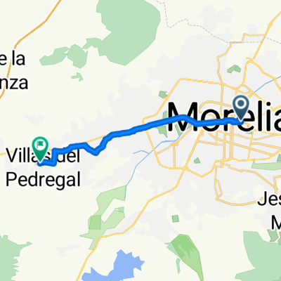
Guadalupe Victoria
- 13.5 km
- 162 m
- 158 m
- Morelia, Michoacán, Mexico
A cycling route starting in Morelia, Michoacán, Mexico.
Overview
J67 – Thursday, March 17, 2016 – Morelia – Ciudad Hidalgo
95.31 km – Average 13.41 km/h Elevation gain 1225 meters – Max gradient 8 % Elevation loss 1088 meters – Max gradient 7 % Max altitude 2466 meters – Arrival altitude 2077 meterscreated this 9 years ago
Route quality
Quiet road
17.3 km
(18 %)
Road
3.8 km
(4 %)
Paved
1 km
(1 %)
Asphalt
1 km
(1 %)
Undefined
95 km
(99 %)
Continue with Bikemap
You would like to ride J67 – Jeudi 17 mars 2016 – Morelia – Ciudad Hidalgo or customize it for your own trip? Here is what you can do with this Bikemap route:
Free trial for 3 days, or one-time payment. More about Bikemap Premium.
Discover more Premium features.
Get Bikemap PremiumFrom our community
Open it in the app