

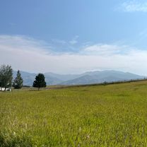
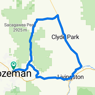
ride through Bozeman
A cycling route starting in Bozeman, Montana, United States.
Overview
About this route
- 1 h 49 min
- Duration
- 26 km
- Distance
- 140 m
- Ascent
- 140 m
- Descent
- 14.3 km/h
- Avg. speed
- ---
- Max. altitude

Continue with Bikemap
Use, edit, or download this cycling route
You would like to ride ride through Bozeman or customize it for your own trip? Here is what you can do with this Bikemap route:
Free features
- Save this route as favorite or in collections
- Copy & plan your own version of this route
- Sync your route with Garmin or Wahoo
Premium features
Free trial for 3 days, or one-time payment. More about Bikemap Premium.
- Navigate this route on iOS & Android
- Export a GPX / KML file of this route
- Create your custom printout (try it for free)
- Download this route for offline navigation
Discover more Premium features.
Get Bikemap PremiumFrom our community
Other popular routes starting in Bozeman
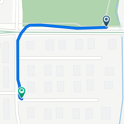
 317 N 25th Ave, Bozeman to 3090 Ranch Dr, Bozeman
- Distance
- 9.6 km
- Ascent
- 65 m
- Descent
- 67 m
- Location
- Bozeman, Montana, United States
 longest ride yet
- Distance
- 7.7 km
- Ascent
- 491 m
- Descent
- 494 m
- Location
- Bozeman, Montana, United States
 ride through Bozeman
- Distance
- 26 km
- Ascent
- 140 m
- Descent
- 140 m
- Location
- Bozeman, Montana, United States
 Road to wedding venue
- Distance
- 26.6 km
- Ascent
- 371 m
- Descent
- 301 m
- Location
- Bozeman, Montana, United States
 6/15/15 Bozeman
- Distance
- 14.3 km
- Ascent
- 57 m
- Descent
- 47 m
- Location
- Bozeman, Montana, United States
 Route to 2491 Daws Dr, Bozeman
- Distance
- 0.3 km
- Ascent
- 0 m
- Descent
- 0 m
- Location
- Bozeman, Montana, United States
 Bozeman Livingston Around the Block
- Distance
- 152.3 km
- Ascent
- 1,249 m
- Descent
- 1,142 m
- Location
- Bozeman, Montana, United States
 613 S Grand Ave, Bozeman to 616 S Grand Ave, Bozeman
- Distance
- 12.9 km
- Ascent
- 105 m
- Descent
- 111 m
- Location
- Bozeman, Montana, United States
Open it in the app