
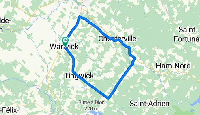

Mini Tour IGA-2015
- 42.8 km
- 145 m
- 118 m
- Warwick, Quebec, Canada
A cycling route starting in Warwick, Quebec, Canada.
Overview
Starting from the Station (bike station) in Warwick, the Route des Saveurs is a 56 km loop. The section of the Linear Park Bois-Francs is covered with stone dust.
This intermediate loop has an interesting elevation gain of 387 meters.
created this 16 years ago
Route highlights
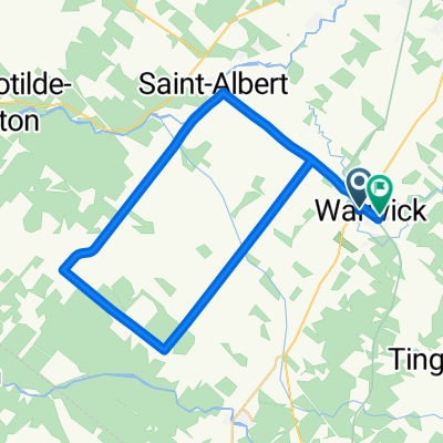
Suivre le Parc linéaire des Bois-Francs jusqu'au Rang Chicago et tournez à droite.
Pente forte
Pente forte
Pente forte
Pente forte
Pente forte
Pente forte
Pente forte
Attention : Circulation automobile élevée
Pente forte
Pente forte
Pente forte
Pente forte
Pente forte
Attention : Circulation automobile élevée.
Pente forte
Continue with Bikemap
You would like to ride #2 La Route des saveurs or customize it for your own trip? Here is what you can do with this Bikemap route:
Free trial for 3 days, or one-time payment. More about Bikemap Premium.
Discover more Premium features.
Get Bikemap PremiumFrom our community
Open it in the app


