

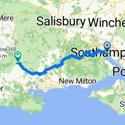
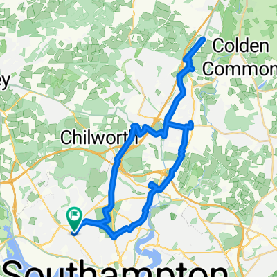
SOTON TO ROMSEY
A cycling route starting in Southampton, England, United Kingdom.
Overview
About this route
TEASI track
- -:--
- Duration
- 17.6 km
- Distance
- 157 m
- Ascent
- 171 m
- Descent
- ---
- Avg. speed
- ---
- Max. altitude
Route quality
Waytypes & surfaces along the route
Waytypes
Quiet road
9.2 km
(52 %)
Cycleway
2.6 km
(15 %)
Surfaces
Paved
10.7 km
(61 %)
Unpaved
1.9 km
(11 %)
Asphalt
10.7 km
(61 %)
Unpaved (undefined)
0.9 km
(5 %)
Continue with Bikemap
Use, edit, or download this cycling route
You would like to ride SOTON TO ROMSEY or customize it for your own trip? Here is what you can do with this Bikemap route:
Free features
- Save this route as favorite or in collections
- Copy & plan your own version of this route
- Sync your route with Garmin or Wahoo
Premium features
Free trial for 3 days, or one-time payment. More about Bikemap Premium.
- Navigate this route on iOS & Android
- Export a GPX / KML file of this route
- Create your custom printout (try it for free)
- Download this route for offline navigation
Discover more Premium features.
Get Bikemap PremiumFrom our community
Other popular routes starting in Southampton
 southampton city training
- Distance
- 15.8 km
- Ascent
- 144 m
- Descent
- 129 m
- Location
- Southampton, England, United Kingdom
 Around Soton
- Distance
- 18.7 km
- Ascent
- 101 m
- Descent
- 99 m
- Location
- Southampton, England, United Kingdom
 Southampton - Blandford Forum
- Distance
- 75.2 km
- Ascent
- 385 m
- Descent
- 371 m
- Location
- Southampton, England, United Kingdom
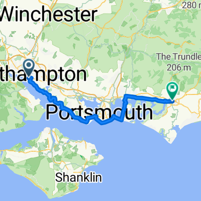 Day 9: Southampton - Chichester
- Distance
- 65.5 km
- Ascent
- 88 m
- Descent
- 72 m
- Location
- Southampton, England, United Kingdom
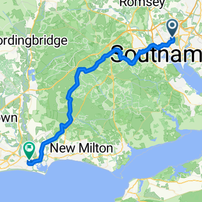 soton —> xchurch
- Distance
- 50.2 km
- Ascent
- 302 m
- Descent
- 339 m
- Location
- Southampton, England, United Kingdom
 For John
- Distance
- 53.1 km
- Ascent
- 238 m
- Descent
- 239 m
- Location
- Southampton, England, United Kingdom
 Seymour Close, Southampton to St John's Road, Christchurch
- Distance
- 48.8 km
- Ascent
- 492 m
- Descent
- 527 m
- Location
- Southampton, England, United Kingdom
 Shirley High Street, Southampton to Shirley High Street, Southampton
- Distance
- 34.6 km
- Ascent
- 236 m
- Descent
- 235 m
- Location
- Southampton, England, United Kingdom
Open it in the app