

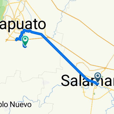
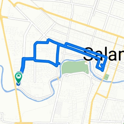
J71 – Lundi 21 mars 2016 – Salamaca – Ganajuato
A cycling route starting in Salamanca, Guanajuato, Mexico.
Overview
About this route
J71 – Monday, March 21, 2016 – Salamaca – Guanajuato 71.76 km – Average 12.40 km/h Ascent 779 meters – Max gradient 7% (up to 18% climbing to the Guanajuato viewpoint. This visit can be done on foot from Guanajuato city center) Descent 485 meters – Max gradient 7% (up to 13% on cobblestones descending from the Guanajuato viewpoint to the city center. This visit can be done on foot from the city center) Max altitude 2110 meters – Arrival altitude 2000 meters
- -:--
- Duration
- 72.3 km
- Distance
- ---
- Ascent
- ---
- Descent
- ---
- Avg. speed
- ---
- Max. altitude
Continue with Bikemap
Use, edit, or download this cycling route
You would like to ride J71 – Lundi 21 mars 2016 – Salamaca – Ganajuato or customize it for your own trip? Here is what you can do with this Bikemap route:
Free features
- Save this route as favorite or in collections
- Copy & plan your own version of this route
- Sync your route with Garmin or Wahoo
Premium features
Free trial for 3 days, or one-time payment. More about Bikemap Premium.
- Navigate this route on iOS & Android
- Export a GPX / KML file of this route
- Create your custom printout (try it for free)
- Download this route for offline navigation
Discover more Premium features.
Get Bikemap PremiumFrom our community
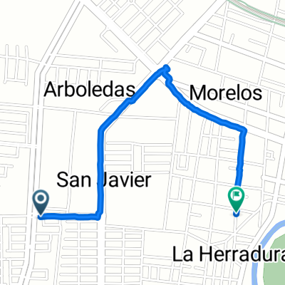
Other popular routes starting in Salamanca
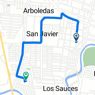
 De Boulevard Faja de Oro a Calle Santo Tomas de Aquino
- Distance
- 30.6 km
- Ascent
- 423 m
- Descent
- 406 m
- Location
- Salamanca, Guanajuato, Mexico
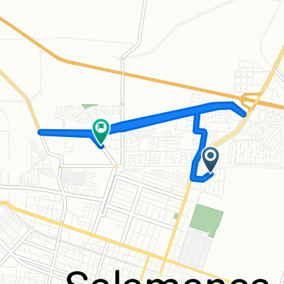
 Ruta Los Cenizos salida a Mendoza
- Distance
- 52.4 km
- Ascent
- 494 m
- Descent
- 494 m
- Location
- Salamanca, Guanajuato, Mexico
 De Calle Alvaro Obregón a Calle Santo Tomas de Aquino
- Distance
- 33.1 km
- Ascent
- 470 m
- Descent
- 454 m
- Location
- Salamanca, Guanajuato, Mexico
 Calle Milburgo Candelas Murillo 103, Salamanca a Calle Milburgo Candelas Murillo 103, Salamanca
- Distance
- 1.8 km
- Ascent
- 43 m
- Descent
- 43 m
- Location
- Salamanca, Guanajuato, Mexico
 Calle San Ramón, Salamanca a Calle Estancia de Mancera Sur, Salamanca
- Distance
- 3.2 km
- Ascent
- 9 m
- Descent
- 15 m
- Location
- Salamanca, Guanajuato, Mexico
 Ruta desde Calle 5 43, Salamanca
- Distance
- 39.9 km
- Ascent
- 187 m
- Descent
- 170 m
- Location
- Salamanca, Guanajuato, Mexico
 Calle Estancia de Mancera Sur, Salamanca a Calle Estancia de Mancera Sur, Salamanca
- Distance
- 9.3 km
- Ascent
- 70 m
- Descent
- 69 m
- Location
- Salamanca, Guanajuato, Mexico
 Boulevard Rinconada San Pedro, Salamanca a Calle San Ramón, Salamanca
- Distance
- 2.5 km
- Ascent
- 3 m
- Descent
- 3 m
- Location
- Salamanca, Guanajuato, Mexico
Open it in the app