Pretty good Tacoma-Seattle route
- 13.3 km
- 15 m
- 126 m
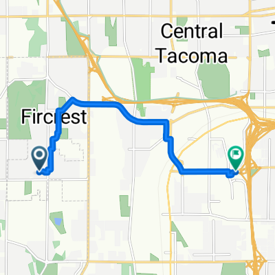
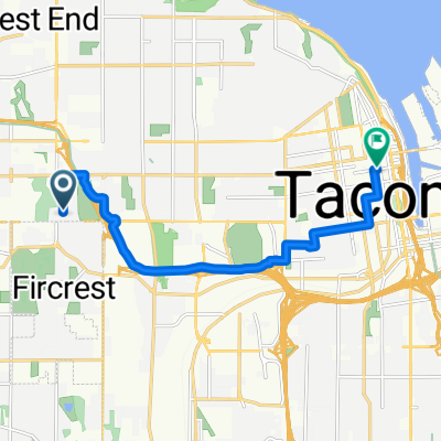
- Fircrest, Washington, United States
A cycling route starting in Fircrest, Washington, United States.
Overview
Meet at Memorial Park, down Vassult, around PT D, rt turn to exit the hard way, down water front and up 33rd, down stevens to pearl, pearl to the golf course, cross the bridge and back to park. 27 KM
created this 9 years ago
Route quality
Quiet road
9.8 km
(36 %)
Road
6 km
(22 %)
Paved
7.9 km
(29 %)
Asphalt
6.3 km
(23 %)
Concrete
1.1 km
(4 %)
Continue with Bikemap
You would like to ride PT D Ride or customize it for your own trip? Here is what you can do with this Bikemap route:
Free trial for 3 days, or one-time payment. More about Bikemap Premium.
Discover more Premium features.
Get Bikemap PremiumFrom our community
Open it in the app