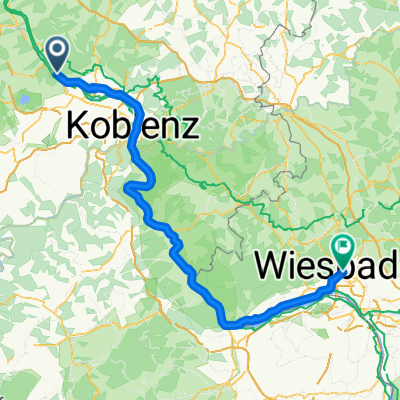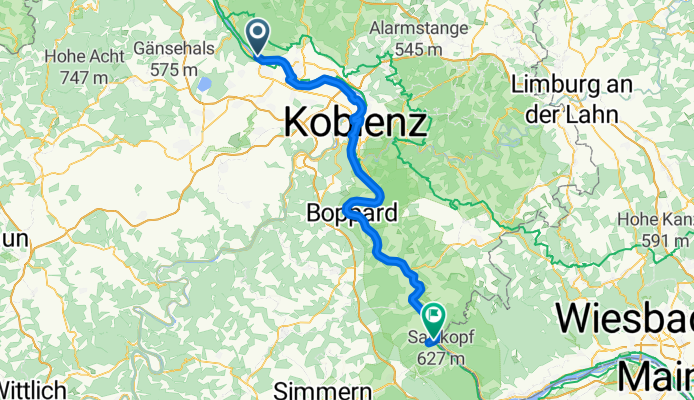
Campingplatz Leutesdorf nach Wiesbaden
- 124.4 km
- 481 m
- 463 m
- Leutesdorf, Rhineland-Palatinate, Germany
A cycling route starting in Leutesdorf, Rhineland-Palatinate, Germany.
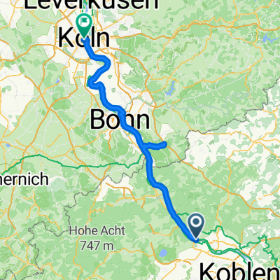
Overview
Leutesdorf (DJH) -
Bacharach (DJH) nach ADFC RadreiseführerRoute quality
Path
35.8 km
(46 %)
Quiet road
12.5 km
(16 %)
Paved
56.9 km
(73 %)
Unpaved
3.1 km
(4 %)
Asphalt
52.2 km
(67 %)
Paved (undefined)
3.9 km
(5 %)
Continue with Bikemap
You would like to ride RheinTourII or customize it for your own trip? Here is what you can do with this Bikemap route:
Free trial for 3 days, or one-time payment. More about Bikemap Premium.
Discover more Premium features.
Get Bikemap PremiumFrom our community
Open it in the app