Proposed Stage 3 2010 Tour of California
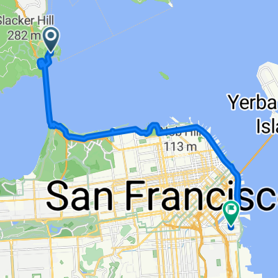
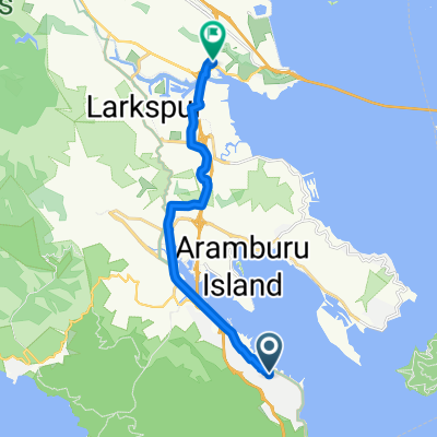
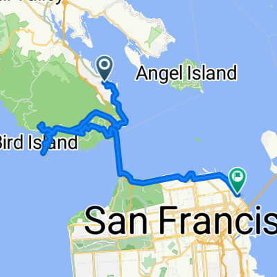
A cycling route starting in Sausalito, California, United States.
Overview
About this route
My proposed route for stage 3 of the 2010 Tour of California. Â It was announced there would be an extra climb in this year's route, and I am proposing after the climb of Tunitas Creek Road that the pack descend King's Mountain Road and subsequently climb Old La Honda Road as that extra climb. Â Then I have them descend the narrow, twisting west side of Old La Honda, continuing down 84 to the coast, and south on 1. Â I further add the scenic detour of Swanton Road, an extra bump into Davenport before the climb of Bonny Doon.
- -:--
- Duration
- 201 km
- Distance
- 2,209 m
- Ascent
- 2,204 m
- Descent
- ---
- Avg. speed
- ---
- Max. altitude
Continue with Bikemap
Use, edit, or download this cycling route
You would like to ride Proposed Stage 3 2010 Tour of California or customize it for your own trip? Here is what you can do with this Bikemap route:
Free features
- Save this route as favorite or in collections
- Copy & plan your own version of this route
- Split it into stages to create a multi-day tour
- Sync your route with Garmin or Wahoo
Premium features
Free trial for 3 days, or one-time payment. More about Bikemap Premium.
- Navigate this route on iOS & Android
- Export a GPX / KML file of this route
- Create your custom printout (try it for free)
- Download this route for offline navigation
Discover more Premium features.
Get Bikemap PremiumFrom our community
Other popular routes starting in Sausalito
Tiburon Loop- Distance
- 56.9 km
- Ascent
- 526 m
- Descent
- 528 m
- Location
- Sausalito, California, United States
5. Bay Area Ridge Trail GGB to Samual P. Taylor Park- Distance
- 62.3 km
- Ascent
- 1,230 m
- Descent
- 1,186 m
- Location
- Sausalito, California, United States
Amgen Tour of California 2013 - Stage 8. San Francisco to Santa Rosa- Distance
- 126.8 km
- Ascent
- 1,010 m
- Descent
- 1,015 m
- Location
- Sausalito, California, United States
San Francisco to San Diego- Distance
- 1,083.2 km
- Ascent
- 1,567 m
- Descent
- 1,586 m
- Location
- Sausalito, California, United States
Hans- Distance
- 103.6 km
- Ascent
- 1,654 m
- Descent
- 1,663 m
- Location
- Sausalito, California, United States
GoldenGateBridge-Tiburon bike route- Distance
- 46 km
- Ascent
- 183 m
- Descent
- 183 m
- Location
- Sausalito, California, United States
horseshoe cove around Paradise and back- Distance
- 42.1 km
- Ascent
- 363 m
- Descent
- 360 m
- Location
- Sausalito, California, United States
The AJS Special- Distance
- 67.3 km
- Ascent
- 931 m
- Descent
- 940 m
- Location
- Sausalito, California, United States
Open it in the app


