KME - Vár túra I. 2016
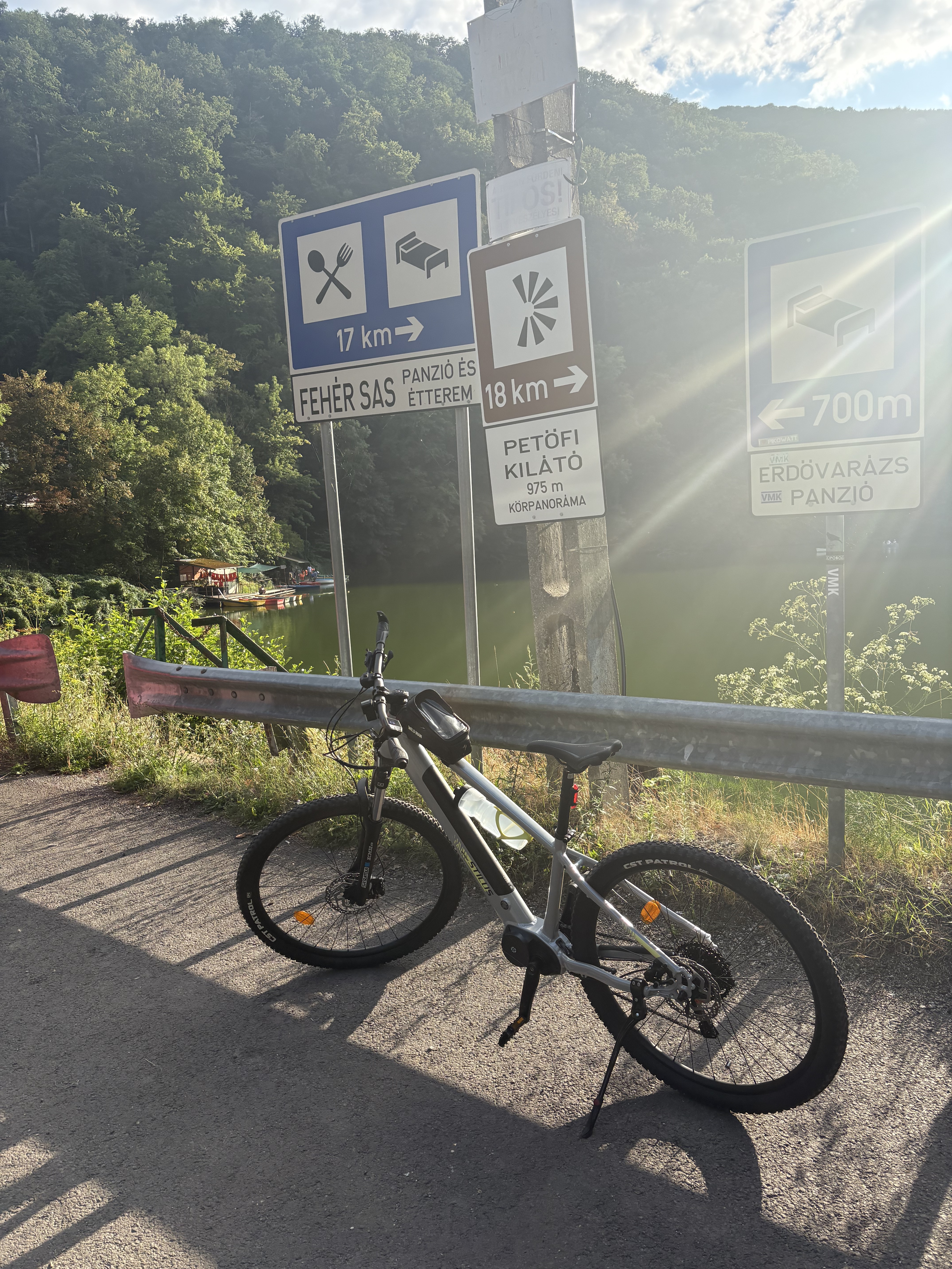
A cycling route starting in Miskolc, Borsod-Abauj Zemplen county, Hungary.
Overview
About this route
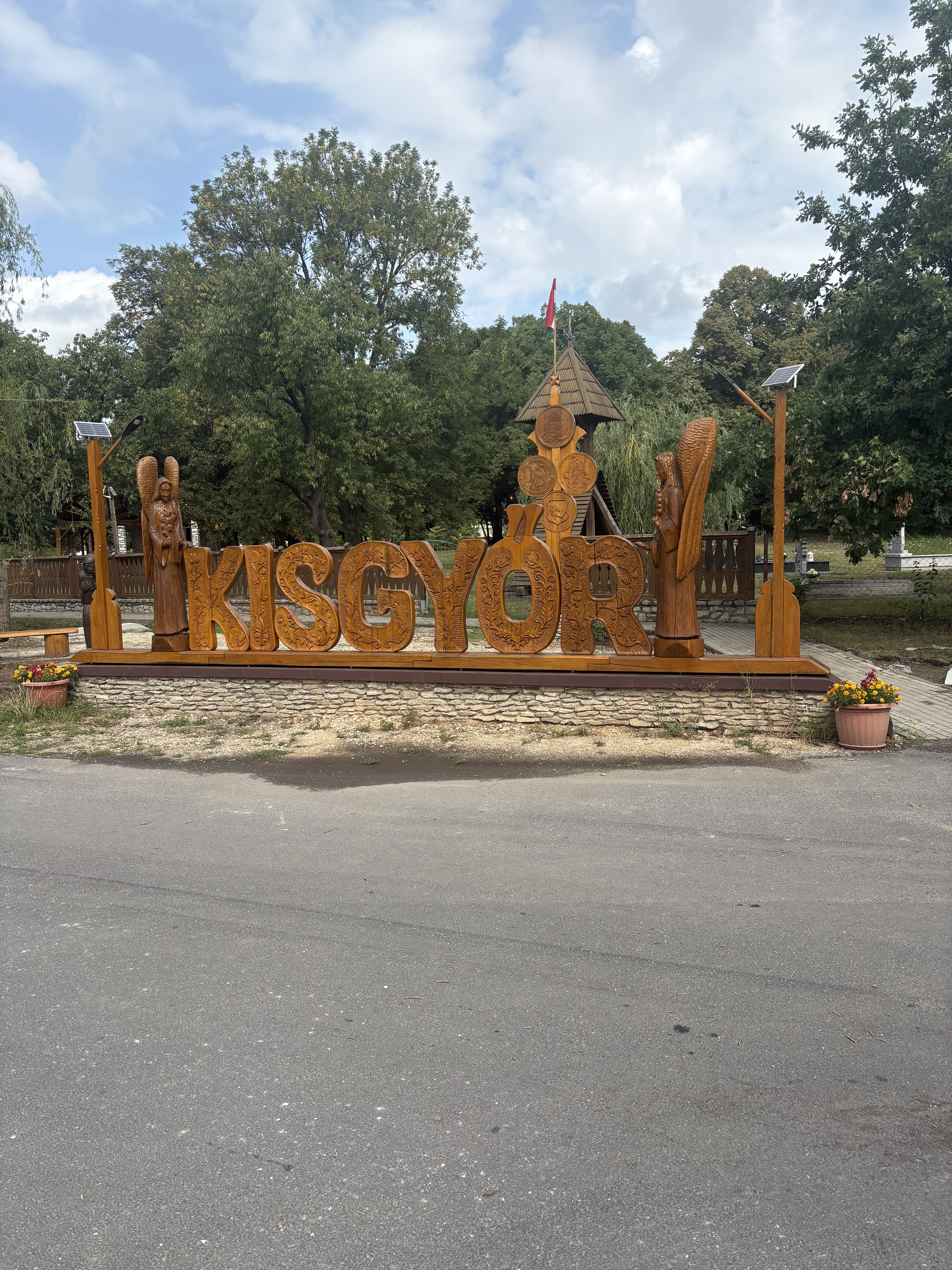
Miskolc - Diósgyőrivár - Hollóstető - Füzér-kő - Ódorvár - Cserépvár - Kácsi vár - Latorvár - Alsó-Kecskevár - Halomvár - Kisgyőr - Leányvár - Tapolca - Miskolc
- -:--
- Duration
- 97.3 km
- Distance
- 1,182 m
- Ascent
- 1,178 m
- Descent
- ---
- Avg. speed
- ---
- Avg. speed
Route quality
Waytypes & surfaces along the route
Waytypes
Track
33.7 km
(35 %)
Quiet road
18.9 km
(19 %)
Surfaces
Paved
39.1 km
(40 %)
Unpaved
18.9 km
(19 %)
Asphalt
28.8 km
(30 %)
Gravel
12.7 km
(13 %)
Continue with Bikemap
Use, edit, or download this cycling route
You would like to ride KME - Vár túra I. 2016 or customize it for your own trip? Here is what you can do with this Bikemap route:
Free features
- Save this route as favorite or in collections
- Copy & plan your own version of this route
- Sync your route with Garmin or Wahoo
Premium features
Free trial for 3 days, or one-time payment. More about Bikemap Premium.
- Navigate this route on iOS & Android
- Export a GPX / KML file of this route
- Create your custom printout (try it for free)
- Download this route for offline navigation
Discover more Premium features.
Get Bikemap PremiumFrom our community
Other popular routes starting in Miskolc
- KME - Déli Bükk II. 2016
- Distance
- 70.1 km
- Ascent
- 903 m
- Descent
- 900 m
- Location
- Miskolc, Borsod-Abauj Zemplen county, Hungary
- Könyves-Hámori tó (északi oldalon)
- Distance
- 11.7 km
- Ascent
- 294 m
- Descent
- 142 m
- Location
- Miskolc, Borsod-Abauj Zemplen county, Hungary
- Eger-miskolc erdei út
- Distance
- 65.8 km
- Ascent
- 757 m
- Descent
- 718 m
- Location
- Miskolc, Borsod-Abauj Zemplen county, Hungary
- KME - Vár túra I. 2016
- Distance
- 97.3 km
- Ascent
- 1,182 m
- Descent
- 1,178 m
- Location
- Miskolc, Borsod-Abauj Zemplen county, Hungary
- Miskolc - Lillafüred - Jávorkút - Nagy-mező- Bánkút - Bálvány hegy - Csipkéskút - Ómassa - Miskolc
- Distance
- 82.8 km
- Ascent
- 1,216 m
- Descent
- 1,215 m
- Location
- Miskolc, Borsod-Abauj Zemplen county, Hungary
- Miskolc - Lillafüred - Nagy-Mező - Olasz kapu - Szilvási kő - Bánkút - Felső-Borovnyák - Ómassa - Miskolc
- Distance
- 88.2 km
- Ascent
- 1,827 m
- Descent
- 1,827 m
- Location
- Miskolc, Borsod-Abauj Zemplen county, Hungary
- KME - Északi Bükk II. 2016
- Distance
- 55.9 km
- Ascent
- 729 m
- Descent
- 721 m
- Location
- Miskolc, Borsod-Abauj Zemplen county, Hungary
- Miskolc-Nyéki tó (István tó)
- Distance
- 45.7 km
- Ascent
- 172 m
- Descent
- 187 m
- Location
- Miskolc, Borsod-Abauj Zemplen county, Hungary