
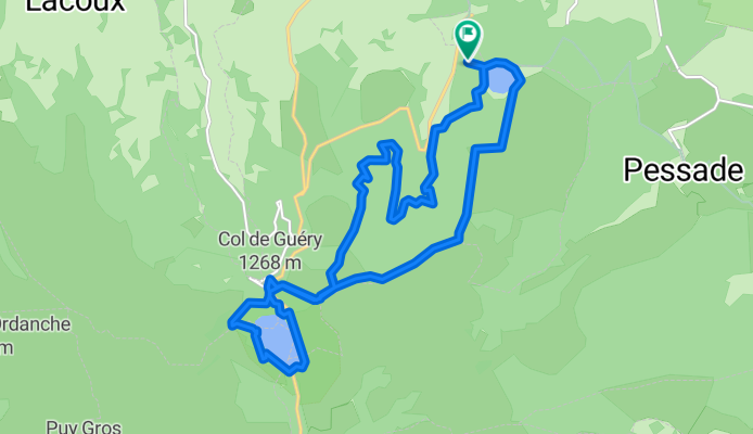


LAC-2-SERVIERES-TOUR-LAC-2-GUERY
- 18.3 km
- 656 m
- 656 m
- Le Mont-Dore, Auvergne-Rhône-Alpes, France
A cycling route starting in Le Mont-Dore, Auvergne-Rhône-Alpes, France.
Overview
TEASI Track
created this 9 years ago
Route highlights
21-SEP-14 9:17:17
21-SEP-14 16:02:18
06-AOU-14 11:40:50
06-AOU-14 11:40:45
06-AOU-14 11:40:42
06-AOU-14 11:40:38
06-AOU-14 11:40:35
06-AOU-14 11:38:48
06-AOU-14 11:40:52
06-AOU-14 11:40:48
Continue with Bikemap
You would like to ride LAC-2-SERVIERES-TOUR-LAC-2-GUERY or customize it for your own trip? Here is what you can do with this Bikemap route:
Free trial for 3 days, or one-time payment. More about Bikemap Premium.
Discover more Premium features.
Get Bikemap PremiumFrom our community
Open it in the app


