
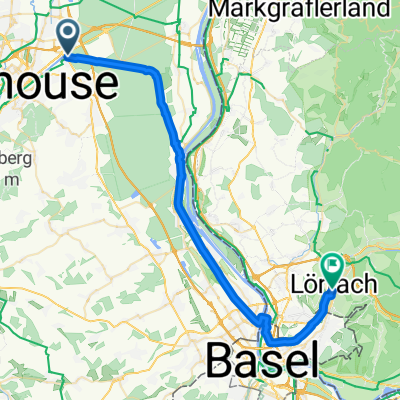
Rue de la Navigation nach Weinbrennerstraße
- 39.3 km
- 109 m
- 51 m
- Rixheim, Grand Est, France
A cycling route starting in Rixheim, Grand Est, France.
Overview
EuroVelo 6
(cloned from route 3404801)
created this 9 years ago
Route quality
Path
99.1 km
(32 %)
Road
58.9 km
(19 %)
Paved
223 km
(72 %)
Unpaved
12.4 km
(4 %)
Asphalt
198.2 km
(64 %)
Paved (undefined)
24.8 km
(8 %)
Continue with Bikemap
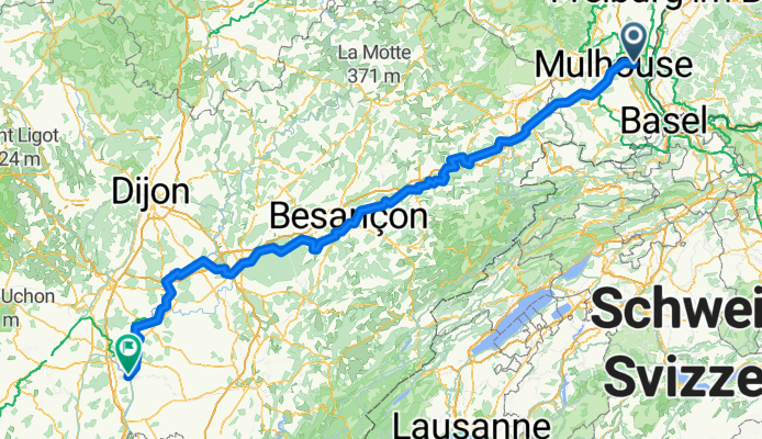
You would like to ride Mulhouse > Chalon-sur-Saone or customize it for your own trip? Here is what you can do with this Bikemap route:
Free trial for 3 days, or one-time payment. More about Bikemap Premium.
Discover more Premium features.
Get Bikemap PremiumFrom our community
Open it in the app


