

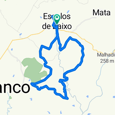
Alcains - aprox.40km. sexta-feira santa.
A cycling route starting in Alcains, Guarda District, Portugal.
Overview
About this route
- 3 h 12 min
- Duration
- 38.5 km
- Distance
- 337 m
- Ascent
- 331 m
- Descent
- 12 km/h
- Avg. speed
- ---
- Max. altitude

Continue with Bikemap
Use, edit, or download this cycling route
You would like to ride Alcains - aprox.40km. sexta-feira santa. or customize it for your own trip? Here is what you can do with this Bikemap route:
Free features
- Save this route as favorite or in collections
- Copy & plan your own version of this route
- Sync your route with Garmin or Wahoo
Premium features
Free trial for 3 days, or one-time payment. More about Bikemap Premium.
- Navigate this route on iOS & Android
- Export a GPX / KML file of this route
- Create your custom printout (try it for free)
- Download this route for offline navigation
Discover more Premium features.
Get Bikemap PremiumFrom our community
Other popular routes starting in Alcains
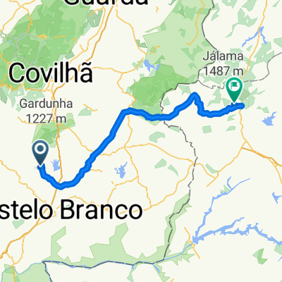
 Recovered Route
- Distance
- 31.6 km
- Ascent
- 564 m
- Descent
- 563 m
- Location
- Alcains, Guarda District, Portugal
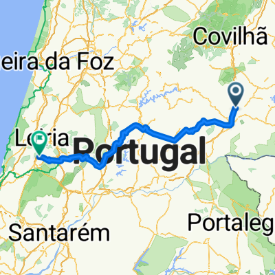
 Avenida Mártires da Pátria 4, Escalos de Baixo to Avenida Mártires da Pátria 2, Escalos de Baixo
- Distance
- 40.8 km
- Ascent
- 680 m
- Descent
- 680 m
- Location
- Alcains, Guarda District, Portugal
 39.890° N -7.383° W a 39.890° N -7.383° W
- Distance
- 5 km
- Ascent
- 119 m
- Descent
- 121 m
- Location
- Alcains, Guarda District, Portugal
 Morelo - Escalos
- Distance
- 79.2 km
- Ascent
- 805 m
- Descent
- 805 m
- Location
- Alcains, Guarda District, Portugal
 111 prube
- Distance
- 113.7 km
- Ascent
- 1,005 m
- Descent
- 921 m
- Location
- Alcains, Guarda District, Portugal
 TOUR 2015 Et4 hip
- Distance
- 178.4 km
- Ascent
- 1,266 m
- Descent
- 1,592 m
- Location
- Alcains, Guarda District, Portugal
 fin J6
- Distance
- 10.5 km
- Ascent
- 153 m
- Descent
- 147 m
- Location
- Alcains, Guarda District, Portugal
 12 junho
- Distance
- 69.7 km
- Ascent
- 529 m
- Descent
- 529 m
- Location
- Alcains, Guarda District, Portugal
Open it in the app