

Main Gaubahn Taubertal Main
A cycling route starting in Holzkirchen, Bavaria, Germany.
Overview
About this route
We start in Homburg am Main near Wertheim and ride upstream along the Main River through Gemünden and Würzburg to Ochsenfurt. Here we turn right onto the Gaubahn cycle path and head south until we reach the Tauber River at Bieberehren. Now we follow the Tauber downstream through Bad Mergentheim and Tauberbischofsheim until we reach the Main again in Wertheim. A short stretch upstream on the Main and we are back in Homburg.
- -:--
- Duration
- 216.7 km
- Distance
- 1,084 m
- Ascent
- 1,079 m
- Descent
- ---
- Avg. speed
- 314 m
- Max. altitude

Route quality
Waytypes & surfaces along the route
Waytypes
Track
58.5 km
(27 %)
Path
52 km
(24 %)
Surfaces
Paved
205.9 km
(95 %)
Unpaved
2.2 km
(1 %)
Asphalt
197.2 km
(91 %)
Paved (undefined)
8.7 km
(4 %)
Continue with Bikemap
Use, edit, or download this cycling route
You would like to ride Main Gaubahn Taubertal Main or customize it for your own trip? Here is what you can do with this Bikemap route:
Free features
- Save this route as favorite or in collections
- Copy & plan your own version of this route
- Split it into stages to create a multi-day tour
- Sync your route with Garmin or Wahoo
Premium features
Free trial for 3 days, or one-time payment. More about Bikemap Premium.
- Navigate this route on iOS & Android
- Export a GPX / KML file of this route
- Create your custom printout (try it for free)
- Download this route for offline navigation
Discover more Premium features.
Get Bikemap PremiumFrom our community
Other popular routes starting in Holzkirchen
 202204_Main_Würzburg_Aschaffenburg
- Distance
- 48.4 km
- Ascent
- 221 m
- Descent
- 261 m
- Location
- Holzkirchen, Bavaria, Germany
 Main Gaubahn Taubertal Main
- Distance
- 216.7 km
- Ascent
- 1,084 m
- Descent
- 1,079 m
- Location
- Holzkirchen, Bavaria, Germany
 D6: Holzkirchen - Nüdlingen
- Distance
- 94.8 km
- Ascent
- 1,018 m
- Descent
- 902 m
- Location
- Holzkirchen, Bavaria, Germany
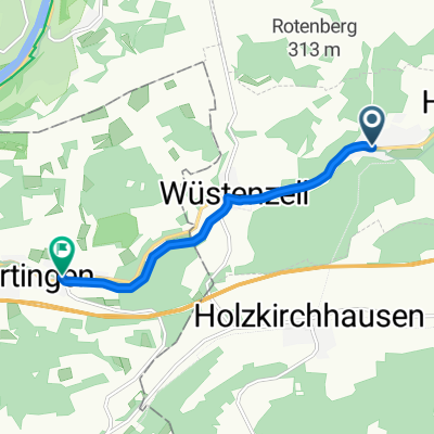 Holzkirchen-Dertingen
- Distance
- 4.8 km
- Ascent
- 151 m
- Descent
- 187 m
- Location
- Holzkirchen, Bavaria, Germany
 Radltour2015_Etappe5b
- Distance
- 35.7 km
- Ascent
- 252 m
- Descent
- 260 m
- Location
- Holzkirchen, Bavaria, Germany
 Von Erlenbach über Trennfeld nach Wertheim und zurück
- Distance
- 34 km
- Ascent
- 71 m
- Descent
- 26 m
- Location
- Holzkirchen, Bavaria, Germany
 Homburg am Main, Marktheidenfeld, Kreuzwertheim (43,4 km)
- Distance
- 43.3 km
- Ascent
- 530 m
- Descent
- 532 m
- Location
- Holzkirchen, Bavaria, Germany
 Radtour 2019 Marktheidenfeld Tag 1-Teil 2
- Distance
- 26.4 km
- Ascent
- 146 m
- Descent
- 228 m
- Location
- Holzkirchen, Bavaria, Germany
Open it in the app