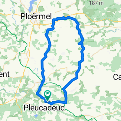
Tournesol 1
- 55.5 km
- 436 m
- 436 m
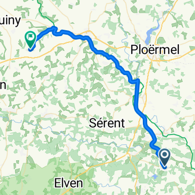
- Pleucadeuc, Brittany Region, France
tour day 2
3 stages
Cycleway
21.6 km32 %Quiet road
19.6 km29 %Paved
32.4 km(48 %)Asphalt
32.4 km48 %Undefined
35.1 km52 %Free trial for 3 days, or one-time payment. More about Bikemap Premium.
Discover more Premium features.
Get Bikemap PremiumOpen it in the app