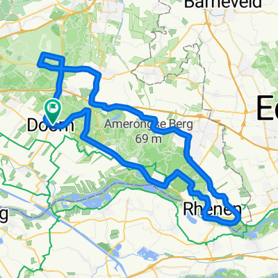
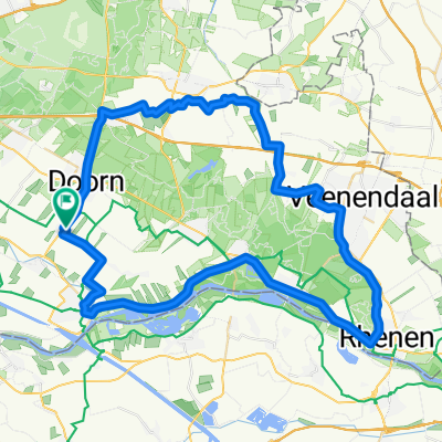
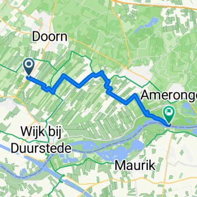
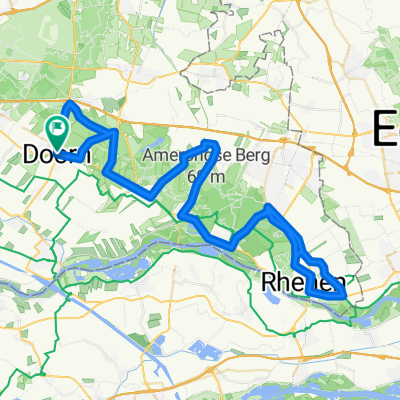
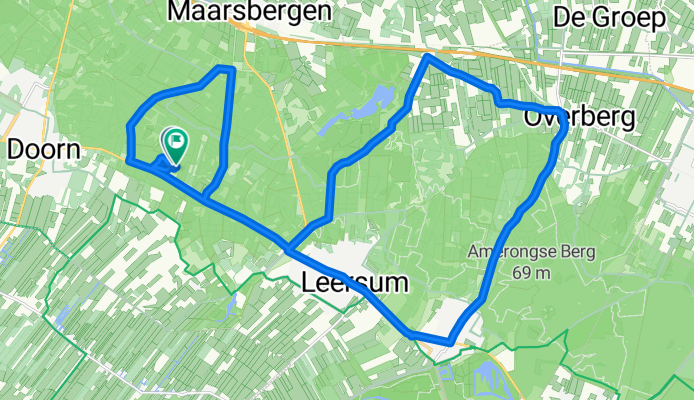
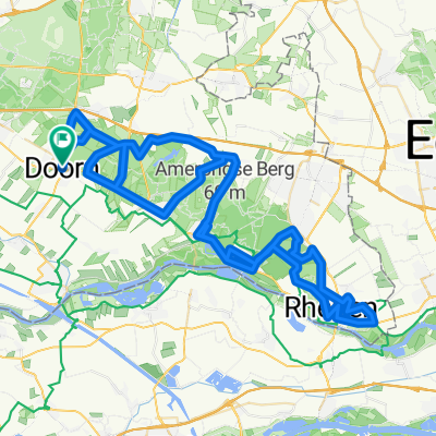
BBB-2016 tussenroute
A cycling route starting in Doorn, Utrecht, The Netherlands.
Overview
About this route
BBB-2016 tussenroute
Twee keer Amerongseberg en een heuveltje
- -:--
- Duration
- 29 km
- Distance
- 158 m
- Ascent
- 153 m
- Descent
- ---
- Avg. speed
- ---
- Max. altitude
Route quality
Waytypes & surfaces along the route
Waytypes
Cycleway
12.8 km
(44 %)
Quiet road
8.4 km
(29 %)
Surfaces
Paved
18.9 km
(65 %)
Unpaved
2.9 km
(10 %)
Asphalt
18.9 km
(65 %)
Loose gravel
1.7 km
(6 %)
Continue with Bikemap
Use, edit, or download this cycling route
You would like to ride BBB-2016 tussenroute or customize it for your own trip? Here is what you can do with this Bikemap route:
Free features
- Save this route as favorite or in collections
- Copy & plan your own version of this route
- Sync your route with Garmin or Wahoo
Premium features
Free trial for 3 days, or one-time payment. More about Bikemap Premium.
- Navigate this route on iOS & Android
- Export a GPX / KML file of this route
- Create your custom printout (try it for free)
- Download this route for offline navigation
Discover more Premium features.
Get Bikemap PremiumFrom our community
Other popular routes starting in Doorn
Trekvogel route to Amerongen- Distance
- 14.1 km
- Ascent
- 29 m
- Descent
- 27 m
- Location
- Doorn, Utrecht, The Netherlands
Bruisende fietstocht in Buren- Distance
- 89.8 km
- Ascent
- 129 m
- Descent
- 129 m
- Location
- Doorn, Utrecht, The Netherlands
Arnhem Day 2- Distance
- 47.5 km
- Ascent
- 149 m
- Descent
- 180 m
- Location
- Doorn, Utrecht, The Netherlands
utrechtse heuvelrug- Distance
- 59 km
- Ascent
- 111 m
- Descent
- 111 m
- Location
- Doorn, Utrecht, The Netherlands
Utrechtse Heuvelrug vanaf Doorn- Distance
- 78.4 km
- Ascent
- 414 m
- Descent
- 414 m
- Location
- Doorn, Utrecht, The Netherlands
Doorn 15-2-2015 90km- Distance
- 89.6 km
- Ascent
- 220 m
- Descent
- 220 m
- Location
- Doorn, Utrecht, The Netherlands
Rondje heuvelrug- Distance
- 83.8 km
- Ascent
- 474 m
- Descent
- 474 m
- Location
- Doorn, Utrecht, The Netherlands
BBB-2016 tussenroute- Distance
- 29 km
- Ascent
- 158 m
- Descent
- 153 m
- Location
- Doorn, Utrecht, The Netherlands
Open it in the app

