

Rundkurs ab Enkheim
A cycling route starting in Bad Vilbel, Hesse, Germany.
Overview
About this route
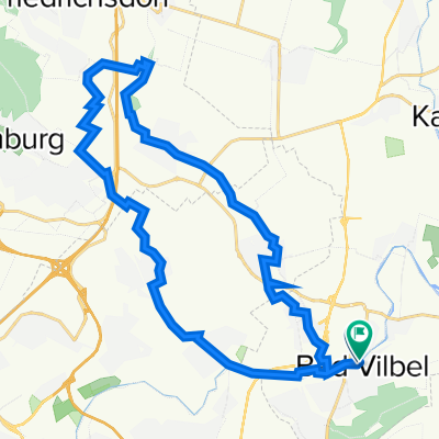
Rundkurs vom Bergen Enkheim über Hohe Straße, Schöneck, Nidderaus und Rüdigheim, Bruchköbel.
Sehr wenig befahrene Straßen, etwa 1/4 sehr gute Radwege, wahlweise kann man auf die Landstraße.
Ausweitbar Richtung Ronneburg, je nach Zeit und Lust und Kondition
- -:--
- Duration
- 47.8 km
- Distance
- 278 m
- Ascent
- 285 m
- Descent
- ---
- Avg. speed
- 209 m
- Avg. speed
Route quality
Waytypes & surfaces along the route
Waytypes
Track
21.3 km
(45 %)
Busy road
10 km
(21 %)
Surfaces
Paved
47 km
(98 %)
Unpaved
0.4 km
(<1 %)
Asphalt
45.7 km
(95 %)
Paving stones
1.3 km
(3 %)
Continue with Bikemap
Use, edit, or download this cycling route
You would like to ride Rundkurs ab Enkheim or customize it for your own trip? Here is what you can do with this Bikemap route:
Free features
- Save this route as favorite or in collections
- Copy & plan your own version of this route
- Sync your route with Garmin or Wahoo
Premium features
Free trial for 3 days, or one-time payment. More about Bikemap Premium.
- Navigate this route on iOS & Android
- Export a GPX / KML file of this route
- Create your custom printout (try it for free)
- Download this route for offline navigation
Discover more Premium features.
Get Bikemap PremiumFrom our community
Other popular routes starting in Bad Vilbel
 Ronneburgrunde südlich (RB 073 - 0340)
- Distance
- 73.2 km
- Ascent
- 321 m
- Descent
- 321 m
- Location
- Bad Vilbel, Hesse, Germany
 Büdinger-Runde M (RB 091-0450)
- Distance
- 93.1 km
- Ascent
- 314 m
- Descent
- 313 m
- Location
- Bad Vilbel, Hesse, Germany
 Bad Vilbel - Bonames - Weißkirchen - Ober Eschbach - Ober-Erlenbach - Nieder-Erlenbach - Bad Vilbel
- Distance
- 31.2 km
- Ascent
- 130 m
- Descent
- 124 m
- Location
- Bad Vilbel, Hesse, Germany
 Eschbach-Erlenbach
- Distance
- 26.8 km
- Ascent
- 92 m
- Descent
- 91 m
- Location
- Bad Vilbel, Hesse, Germany
 RTF Niedererlenbach 114km Runde
- Distance
- 116 km
- Ascent
- 940 m
- Descent
- 928 m
- Location
- Bad Vilbel, Hesse, Germany
 Rundroute Bad Vilbel - Bad Homburg
- Distance
- 37.3 km
- Ascent
- 268 m
- Descent
- 269 m
- Location
- Bad Vilbel, Hesse, Germany
 Afterworkroute 5 - ca. 190 Hm
- Distance
- 40.4 km
- Ascent
- 238 m
- Descent
- 224 m
- Location
- Bad Vilbel, Hesse, Germany
 Grüngürtel
- Distance
- 64.6 km
- Ascent
- 219 m
- Descent
- 212 m
- Location
- Bad Vilbel, Hesse, Germany
Open it in the app