Tour de Bourgogne
A cycling route starting in Mâcon, Bourgogne-Franche-Comté, France.
Overview
About this route
The Tour de Bourgogne slightly adapted to avoid certain sections already ridden before (Bourgogne-du-Sud Green Ways and Canal du Centre). Most of the time, the official route is marked and follows navigable waterways: Canal du Centre, lateral canal to the Loire, Canal du Nivernais, Canal de Bourgogne, the Saône. Greenways and cycling routes off traffic, some stretches on minor roads, several unpaved sections (MTB recommended).
Total effective distance: 793 km
Total positive elevation gain: 3800 m
Duration: 8 days (+ possible rest)
More information at www.europebybike.info
- -:--
- Duration
- 749.4 km
- Distance
- 876 m
- Ascent
- 876 m
- Descent
- ---
- Avg. speed
- ---
- Max. altitude
Route quality
Waytypes & surfaces along the route
Waytypes
Cycleway
187.4 km
(25 %)
Path
179.9 km
(24 %)
Surfaces
Paved
449.7 km
(60 %)
Unpaved
67.5 km
(9 %)
Asphalt
434.7 km
(58 %)
Loose gravel
30 km
(4 %)
Route highlights
Points of interest along the route
Accommodation after 57.5 km
Gîte d'étape "Les P'tits Loups", Mont, http://www.gite-vacances-bourgogne.com/, tél 03.85.24.89.76 et 06.80.90.71.88
Accommodation after 138.6 km
Camping du Breuil, Bourbon-Lancy, tél 03.85.89.20.98
Accommodation after 223.1 km
Châtillon-en-Bazois, hôtel et chambres d'hôtes (prix élevés !)
Accommodation after 345.6 km
Vincelottes, hôtel et chambres d'hôtes (prix élevés !)
Accommodation after 450.5 km
Gîte d'étape et camping "La Gravière du Moulin", Lézinnes, tél. 03 86 75 68 67 et 06 02 29 59 27
Accommodation after 542.6 km
Pouilly-en-Auxois, camping et hôtels.
Accommodation after 643.5 km
Beaune, camping et hôtels (prix élevés !)
Continue with Bikemap
Use, edit, or download this cycling route
You would like to ride Tour de Bourgogne or customize it for your own trip? Here is what you can do with this Bikemap route:
Free features
- Save this route as favorite or in collections
- Copy & plan your own version of this route
- Split it into stages to create a multi-day tour
- Sync your route with Garmin or Wahoo
Premium features
Free trial for 3 days, or one-time payment. More about Bikemap Premium.
- Navigate this route on iOS & Android
- Export a GPX / KML file of this route
- Create your custom printout (try it for free)
- Download this route for offline navigation
Discover more Premium features.
Get Bikemap PremiumFrom our community
Other popular routes starting in Mâcon
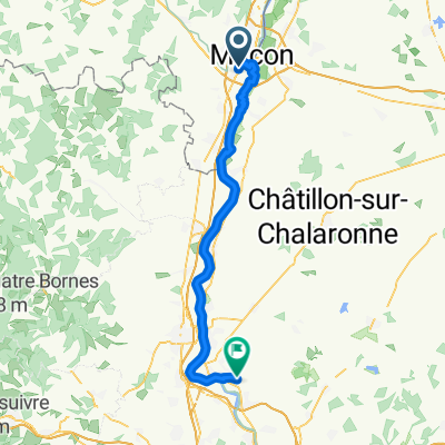
 Mâcon Tournus Pont-de-Vaux Milly-Lamartine
- Distance
- 115.8 km
- Ascent
- 258 m
- Descent
- 259 m
- Location
- Mâcon, Bourgogne-Franche-Comté, France
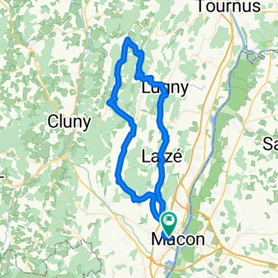
 68 km - 900 m Péronne Lugny Pistole Blanot Azé Verzé Hurigny
- Distance
- 68.6 km
- Ascent
- 790 m
- Descent
- 790 m
- Location
- Mâcon, Bourgogne-Franche-Comté, France
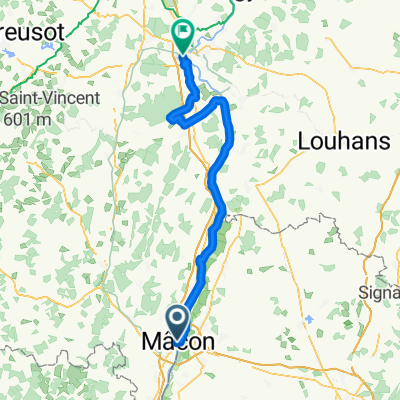
 Tour de Bourgogne - Etape 1 de Macôn à Pont des Rigolles - 116km 1980D+
- Distance
- 115.7 km
- Ascent
- 1,411 m
- Descent
- 1,245 m
- Location
- Mâcon, Bourgogne-Franche-Comté, France
 Borgoña-Definitiva
- Distance
- 593.6 km
- Ascent
- 3,842 m
- Descent
- 3,841 m
- Location
- Mâcon, Bourgogne-Franche-Comté, France
 Rue Paul Gataud, Mâcon à Route de Lyon, Saint-Rémy
- Distance
- 79.4 km
- Ascent
- 189 m
- Descent
- 202 m
- Location
- Mâcon, Bourgogne-Franche-Comté, France
 Tour de Bourgogne
- Distance
- 749.4 km
- Ascent
- 876 m
- Descent
- 876 m
- Location
- Mâcon, Bourgogne-Franche-Comté, France
 Burgundsko - krajem vína
- Distance
- 336.2 km
- Ascent
- 1,133 m
- Descent
- 1,093 m
- Location
- Mâcon, Bourgogne-Franche-Comté, France
 Von Mâcon bis Reyrieux
- Distance
- 58.2 km
- Ascent
- 124 m
- Descent
- 122 m
- Location
- Mâcon, Bourgogne-Franche-Comté, France
Open it in the app


