

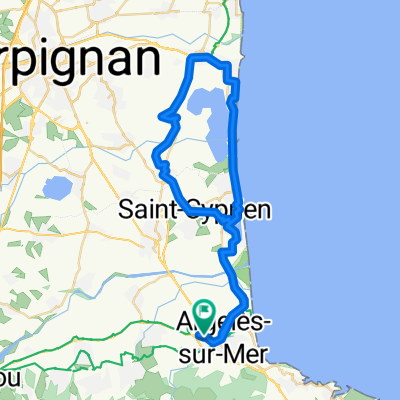
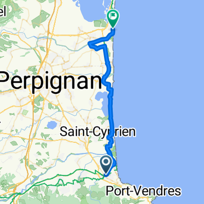
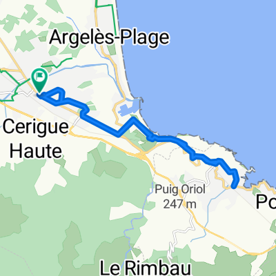
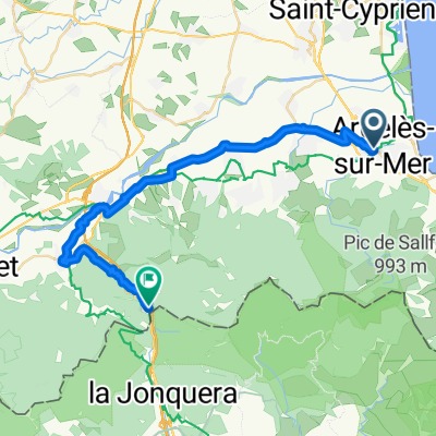
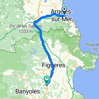
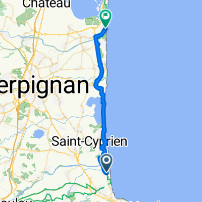
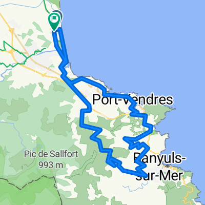
Perpignano - Biarritz
A cycling route starting in Argeles, Occitanie, France.
Overview
About this route
sew and unpick in the Pyrenees....France, Spain, France
- -:--
- Duration
- 886.1 km
- Distance
- 9,053 m
- Ascent
- 9,009 m
- Descent
- ---
- Avg. speed
- ---
- Max. altitude

Route quality
Waytypes & surfaces along the route
Waytypes
Road
106.3 km
(12 %)
Quiet road
88.6 km
(10 %)
Surfaces
Paved
451.9 km
(51 %)
Unpaved
17.7 km
(2 %)
Asphalt
443 km
(50 %)
Gravel
17.7 km
(2 %)
Continue with Bikemap
Use, edit, or download this cycling route
You would like to ride Perpignano - Biarritz or customize it for your own trip? Here is what you can do with this Bikemap route:
Free features
- Save this route as favorite or in collections
- Copy & plan your own version of this route
- Split it into stages to create a multi-day tour
- Sync your route with Garmin or Wahoo
Premium features
Free trial for 3 days, or one-time payment. More about Bikemap Premium.
- Navigate this route on iOS & Android
- Export a GPX / KML file of this route
- Create your custom printout (try it for free)
- Download this route for offline navigation
Discover more Premium features.
Get Bikemap PremiumFrom our community
Other popular routes starting in Argeles
 Boucle Canet
- Distance
- 53.9 km
- Ascent
- 72 m
- Descent
- 72 m
- Location
- Argeles, Occitanie, France
 Allée Ferdinand Buisson, Argelès-sur-Mer à Boulevard du Grau St-Ange, Le Barcarès
- Distance
- 38.7 km
- Ascent
- 20 m
- Descent
- 27 m
- Location
- Argeles, Occitanie, France
 Argelès-sur-Mer Collioure Argelès-sur-Mer
- Distance
- 14.3 km
- Ascent
- 182 m
- Descent
- 184 m
- Location
- Argeles, Occitanie, France
 Allée Ferdinand Buisson, Argelès-sur-Mer nach Avenue de France, Le Perthus
- Distance
- 33.8 km
- Ascent
- 538 m
- Descent
- 260 m
- Location
- Argeles, Occitanie, France
 17.1_Argelès-Plage_Bàscara
- Distance
- 77 km
- Ascent
- 682 m
- Descent
- 620 m
- Location
- Argeles, Occitanie, France
 Les_deux_mers
- Distance
- 696.9 km
- Ascent
- 9,567 m
- Descent
- 9,568 m
- Location
- Argeles, Occitanie, France
 Résidence les Paganes, Argelès-sur-Mer to Boulevard du Grau St-Ange, Le Barcarès
- Distance
- 30.7 km
- Ascent
- 56 m
- Descent
- 51 m
- Location
- Argeles, Occitanie, France
 Argelès-sur-Mer Berge ca 50km + EV8 15
- Distance
- 49 km
- Ascent
- 1,738 m
- Descent
- 1,738 m
- Location
- Argeles, Occitanie, France
Open it in the app