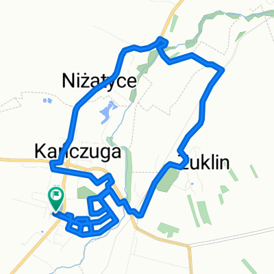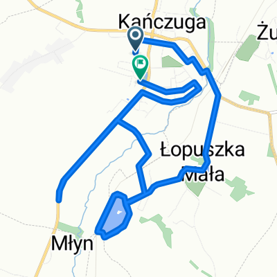
Wolności do Wolności
- 13.2 km
- 193 m
- 201 m
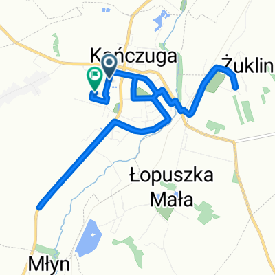
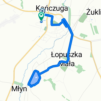
- Kańczuga, Subcarpathian Voivodeship, Poland
A cycling route starting in Kańczuga, Subcarpathian Voivodeship, Poland.
Overview
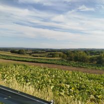
asphalt
created this 9 years ago
Route quality
Road
22.3 km
(30 %)
Quiet road
4.5 km
(6 %)
Paved
64.6 km
(87 %)
Asphalt
63.8 km
(86 %)
Paved (undefined)
0.7 km
(1 %)
Undefined
9.6 km
(13 %)
Continue with Bikemap
You would like to ride 75 (19/16) Rożniatów-Jarosław-WÓLKA PEŁKIŃSKA-Tryńcza-Przeworsk or customize it for your own trip? Here is what you can do with this Bikemap route:
Free trial for 3 days, or one-time payment. More about Bikemap Premium.
Discover more Premium features.
Get Bikemap PremiumFrom our community
Open it in the app