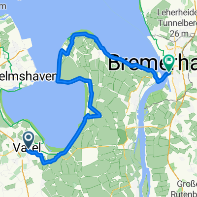
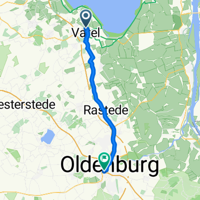
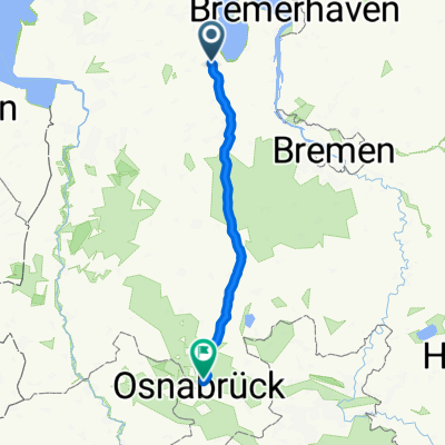
Varel - Conneforde - Ölstraße
A cycling route starting in Varel, Lower Saxony, Germany.
Overview
About this route
- -:--
- Duration
- 33.6 km
- Distance
- 69 m
- Ascent
- 69 m
- Descent
- ---
- Avg. speed
- ---
- Max. altitude
Continue with Bikemap
Use, edit, or download this cycling route
You would like to ride Varel - Conneforde - Ölstraße or customize it for your own trip? Here is what you can do with this Bikemap route:
Free features
- Save this route as favorite or in collections
- Copy & plan your own version of this route
- Sync your route with Garmin or Wahoo
Premium features
Free trial for 3 days, or one-time payment. More about Bikemap Premium.
- Navigate this route on iOS & Android
- Export a GPX / KML file of this route
- Create your custom printout (try it for free)
- Download this route for offline navigation
Discover more Premium features.
Get Bikemap PremiumFrom our community
Other popular routes starting in Varel
- Gemütliche Tour durch das Vareler Land
- Distance
- 25.5 km
- Ascent
- 58 m
- Descent
- 58 m
- Location
- Varel, Lower Saxony, Germany
- Wilhelmshaven Horster Grashaus
- Distance
- 52.6 km
- Ascent
- 25 m
- Descent
- 25 m
- Location
- Varel, Lower Saxony, Germany
- 18-06/2 Varel - Wilhelmshaven
- Distance
- 23.8 km
- Ascent
- 19 m
- Descent
- 29 m
- Location
- Varel, Lower Saxony, Germany
- TOUR DE FRIES
- Distance
- 364.4 km
- Ascent
- 184 m
- Descent
- 192 m
- Location
- Varel, Lower Saxony, Germany
- Dangast-Varel
- Distance
- 20.7 km
- Ascent
- 27 m
- Descent
- 25 m
- Location
- Varel, Lower Saxony, Germany
- Varel Sande Dangast
- Distance
- 48.4 km
- Ascent
- 48 m
- Descent
- 50 m
- Location
- Varel, Lower Saxony, Germany
- Varel Zetel Varel
- Distance
- 42.1 km
- Ascent
- 35 m
- Descent
- 40 m
- Location
- Varel, Lower Saxony, Germany
- Rund um Ostfriesland
- Distance
- 276.4 km
- Ascent
- 140 m
- Descent
- 137 m
- Location
- Varel, Lower Saxony, Germany
Open it in the app