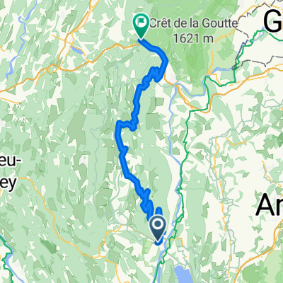
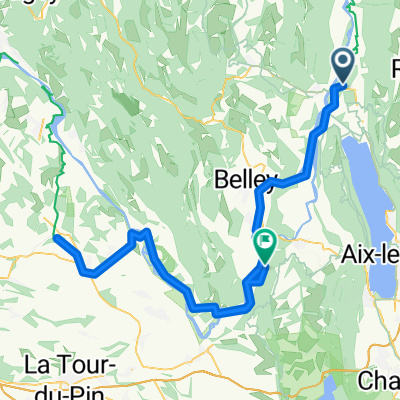
beklimming grand colombier 2016
A cycling route starting in Culoz, Auvergne-Rh么ne-Alpes, France.
Overview
About this route
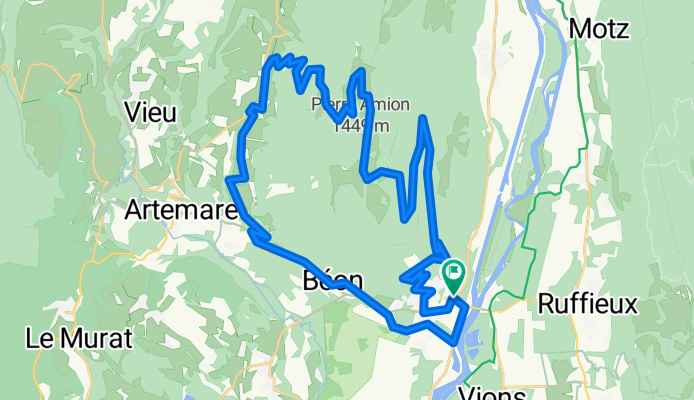
From the Grand Colombier campsite
- -:--
- Duration
- 43.4 km
- Distance
- 1,311 m
- Ascent
- 1,310 m
- Descent
- ---
- Avg. speed
- ---
- Max. altitude
Route quality
Waytypes & surfaces along the route
Waytypes
Road
35.6 km
(82 %)
Quiet road
2.6 km
(6 %)
Surfaces
Paved
36.9 km
(85 %)
Asphalt
36.9 km
(85 %)
Undefined
6.5 km
(15 %)
Continue with Bikemap
Use, edit, or download this cycling route
You would like to ride beklimming grand colombier 2016 or customize it for your own trip? Here is what you can do with this Bikemap route:
Free features
- Save this route as favorite or in collections
- Copy & plan your own version of this route
- Sync your route with Garmin or Wahoo
Premium features
Free trial for 3 days, or one-time payment. More about Bikemap Premium.
- Navigate this route on iOS & Android
- Export a GPX / KML file of this route
- Create your custom printout (try it for free)
- Download this route for offline navigation
Discover more Premium features.
Get Bikemap PremiumFrom our community
Other popular routes starting in Culoz
- Tour du lac du Bourget
- Distance
- 146.2 km
- Ascent
- 3,093 m
- Descent
- 3,094 m
- Location
- Culoz, Auvergne-Rh么ne-Alpes, France
- Le Grand Colombier
- Distance
- 68 km
- Ascent
- 1,932 m
- Descent
- 1,932 m
- Location
- Culoz, Auvergne-Rh么ne-Alpes, France
- Culoz Cycling
- Distance
- 5.5 km
- Ascent
- 0 m
- Descent
- 0 m
- Location
- Culoz, Auvergne-Rh么ne-Alpes, France
- 94km3300hmGrandColombier
- Distance
- 93.4 km
- Ascent
- 2,875 m
- Descent
- 2,876 m
- Location
- Culoz, Auvergne-Rh么ne-Alpes, France
- Seyssel - Villedieu
- Distance
- 290.8 km
- Ascent
- 678 m
- Descent
- 657 m
- Location
- Culoz, Auvergne-Rh么ne-Alpes, France
- Le Grand Colombier
- Distance
- 48.6 km
- Ascent
- 1,344 m
- Descent
- 1,342 m
- Location
- Culoz, Auvergne-Rh么ne-Alpes, France
- 2. Grand Colombier
- Distance
- 107.6 km
- Ascent
- 2,799 m
- Descent
- 2,577 m
- Location
- Culoz, Auvergne-Rh么ne-Alpes, France
- Col du Grand Colombier
- Distance
- 77.3 km
- Ascent
- 2,403 m
- Descent
- 2,403 m
- Location
- Culoz, Auvergne-Rh么ne-Alpes, France
Open it in the app