


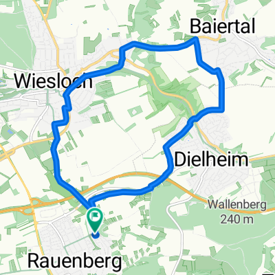
Rauenberg - Baiertal
- 10.7 km
- 110 m
- 105 m
- Rauenberg, Baden-Wurttemberg, Germany
A cycling route starting in Rauenberg, Baden-Wurttemberg, Germany.
Overview
from Rauenberg through the vineyards to Malschenberg. Continue on the bike path parallel to the B3 towards Bad Schönborn. Before Bad Schönborn through the nature reserve Aue to the airfield Malsch. Continue through Rettigheim to Mühlhausen. On the old railway embankment back through Rotenberg to the starting point. Outside of the villages, only bike paths are used!
created this 17 years ago
Route quality
Quiet road
6.3 km
(36 %)
Track
4.8 km
(27 %)
Paved
15.5 km
(88 %)
Unpaved
0.2 km
(1 %)
Asphalt
14.1 km
(80 %)
Concrete
1.4 km
(8 %)
Continue with Bikemap
You would like to ride Rauenberg- Flugplatz Malsch Tour or customize it for your own trip? Here is what you can do with this Bikemap route:
Free trial for 3 days, or one-time payment. More about Bikemap Premium.
Discover more Premium features.
Get Bikemap PremiumFrom our community
Open it in the app


