

Great Dun Fell
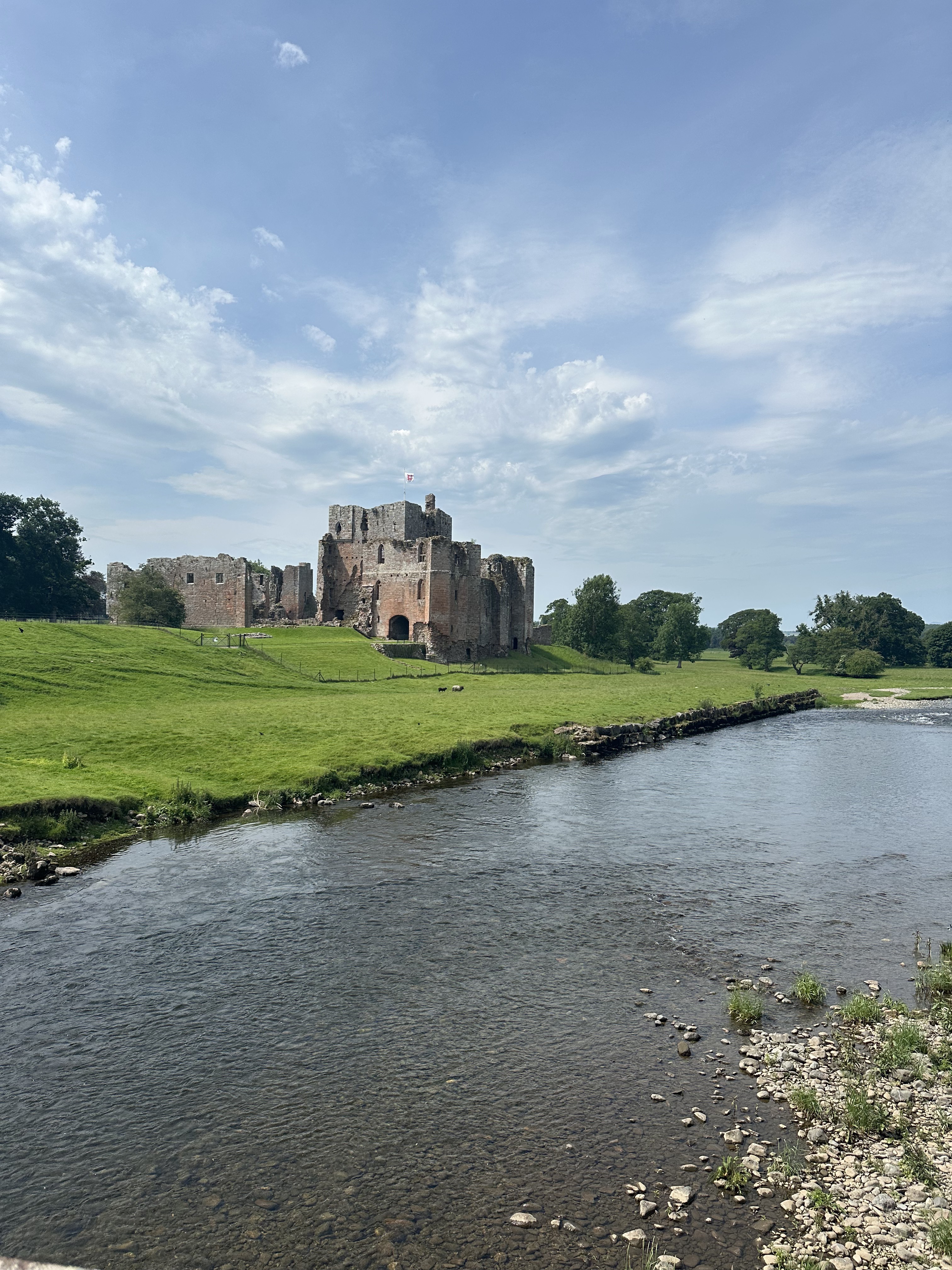
A cycling route starting in Appleby-in-Westmorland, England, United Kingdom.
Overview
About this route
Climb from Dufton to the top of Great Dun Fell
- -:--
- Duration
- 10.2 km
- Distance
- 707 m
- Ascent
- 29 m
- Descent
- ---
- Avg. speed
- ---
- Max. altitude

Route quality
Waytypes & surfaces along the route
Waytypes
Access road
5.8 km
(57 %)
Quiet road
4.3 km
(42 %)
Undefined
0.1 km
(1 %)
Surfaces
Paved
7.1 km
(70 %)
Asphalt
4 km
(39 %)
Paved (undefined)
3.2 km
(31 %)
Undefined
3.1 km
(30 %)
Continue with Bikemap
Use, edit, or download this cycling route
You would like to ride Great Dun Fell or customize it for your own trip? Here is what you can do with this Bikemap route:
Free features
- Save this route as favorite or in collections
- Copy & plan your own version of this route
- Sync your route with Garmin or Wahoo
Premium features
Free trial for 3 days, or one-time payment. More about Bikemap Premium.
- Navigate this route on iOS & Android
- Export a GPX / KML file of this route
- Create your custom printout (try it for free)
- Download this route for offline navigation
Discover more Premium features.
Get Bikemap PremiumFrom our community
Other popular routes starting in Appleby-in-Westmorland
 England 8: R68-6 Appleby-Alston
- Distance
- 55.5 km
- Ascent
- 655 m
- Descent
- 530 m
- Location
- Appleby-in-Westmorland, England, United Kingdom
 The Fat Lamb and The Kings Arms Eden Valley Cycle Ride - Short Route
- Distance
- 19.7 km
- Ascent
- 213 m
- Descent
- 217 m
- Location
- Appleby-in-Westmorland, England, United Kingdom
 Route to Dufton, Appleby-in-Westmorland
- Distance
- 18.1 km
- Ascent
- 210 m
- Descent
- 209 m
- Location
- Appleby-in-Westmorland, England, United Kingdom
 Great Dun Fell
- Distance
- 10.2 km
- Ascent
- 707 m
- Descent
- 29 m
- Location
- Appleby-in-Westmorland, England, United Kingdom
 2018 BIG Day 2/1
- Distance
- 61 km
- Ascent
- 1,111 m
- Descent
- 1,114 m
- Location
- Appleby-in-Westmorland, England, United Kingdom
 Boroughgate, Appleby-In-Westmorland to Great Dockray, Penrith
- Distance
- 28.1 km
- Ascent
- 395 m
- Descent
- 394 m
- Location
- Appleby-in-Westmorland, England, United Kingdom
 crosby ravensworth- 7 miler
- Distance
- 18.5 km
- Ascent
- 229 m
- Descent
- 230 m
- Location
- Appleby-in-Westmorland, England, United Kingdom
 Appleby-in-Westmorland, Long Marton to Appleby-in-Westmorland, Long Marton
- Distance
- 9.3 km
- Ascent
- 115 m
- Descent
- 116 m
- Location
- Appleby-in-Westmorland, England, United Kingdom
Open it in the app