

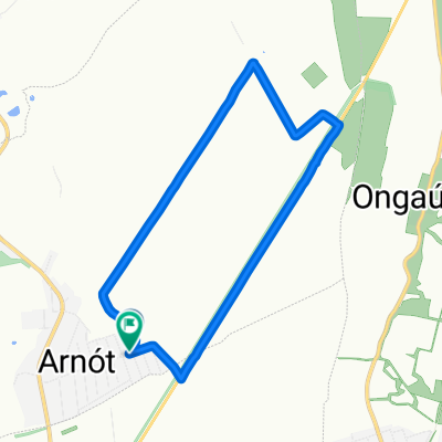
Rakaca kerülő
A cycling route starting in Arnót, Borsod-Abauj Zemplen county, Hungary.
Overview
About this route
- -:--
- Duration
- 148.5 km
- Distance
- 428 m
- Ascent
- 387 m
- Descent
- ---
- Avg. speed
- ---
- Max. altitude
Route quality
Waytypes & surfaces along the route
Waytypes
Quiet road
29.7 km
(20 %)
Track
3 km
(2 %)
Surfaces
Paved
25.3 km
(17 %)
Unpaved
1.5 km
(1 %)
Asphalt
25.3 km
(17 %)
Unpaved (undefined)
1.5 km
(1 %)
Undefined
121.8 km
(82 %)
Continue with Bikemap
Use, edit, or download this cycling route
You would like to ride Rakaca kerülő or customize it for your own trip? Here is what you can do with this Bikemap route:
Free features
- Save this route as favorite or in collections
- Copy & plan your own version of this route
- Split it into stages to create a multi-day tour
- Sync your route with Garmin or Wahoo
Premium features
Free trial for 3 days, or one-time payment. More about Bikemap Premium.
- Navigate this route on iOS & Android
- Export a GPX / KML file of this route
- Create your custom printout (try it for free)
- Download this route for offline navigation
Discover more Premium features.
Get Bikemap PremiumFrom our community
Other popular routes starting in Arnót
 Petőfi Sándor utca 120, Arnót to Alkotmány út 41, Halmaj
- Distance
- 38.5 km
- Ascent
- 363 m
- Descent
- 357 m
- Location
- Arnót, Borsod-Abauj Zemplen county, Hungary
 Rakaca kerülő
- Distance
- 148.5 km
- Ascent
- 428 m
- Descent
- 387 m
- Location
- Arnót, Borsod-Abauj Zemplen county, Hungary
 Arnót Cycling
- Distance
- 40 km
- Ascent
- 281 m
- Descent
- 298 m
- Location
- Arnót, Borsod-Abauj Zemplen county, Hungary
 Ipari út 1, Felsőzsolca to Pázsit utca 25, Szirmabesenyő
- Distance
- 13.1 km
- Ascent
- 61 m
- Descent
- 47 m
- Location
- Arnót, Borsod-Abauj Zemplen county, Hungary
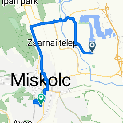 Route in Miskolc
- Distance
- 10.6 km
- Ascent
- 41 m
- Descent
- 31 m
- Location
- Arnót, Borsod-Abauj Zemplen county, Hungary
 Arnot-Aggtelek-Baktakék
- Distance
- 136.5 km
- Ascent
- 485 m
- Descent
- 437 m
- Location
- Arnót, Borsod-Abauj Zemplen county, Hungary
 Vörösmarty Mihály utca - Vörösmarty Mihály utca
- Distance
- 9 km
- Ascent
- 43 m
- Descent
- 90 m
- Location
- Arnót, Borsod-Abauj Zemplen county, Hungary
 Aggtelek kör Arnótról
- Distance
- 115.6 km
- Ascent
- 349 m
- Descent
- 333 m
- Location
- Arnót, Borsod-Abauj Zemplen county, Hungary
Open it in the app