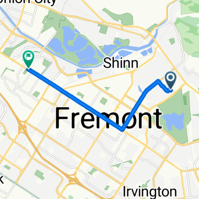
Coyote Hills Round trip from Quarry Lakes
A cycling route starting in Fremont, California, United States.
Overview
About this route
- -:--
- Duration
- 30.4 km
- Distance
- 14 m
- Ascent
- 13 m
- Descent
- ---
- Avg. speed
- ---
- Max. altitude
Route quality
Waytypes & surfaces along the route
Waytypes
Track
19.4 km
(64 %)
Pedestrian area
10.3 km
(34 %)
Surfaces
Paved
21.6 km
(71 %)
Unpaved
8.2 km
(27 %)
Asphalt
21.6 km
(71 %)
Gravel
5.8 km
(19 %)
Continue with Bikemap
Use, edit, or download this cycling route
You would like to ride Coyote Hills Round trip from Quarry Lakes or customize it for your own trip? Here is what you can do with this Bikemap route:
Free features
- Save this route as favorite or in collections
- Copy & plan your own version of this route
- Sync your route with Garmin or Wahoo
Premium features
Free trial for 3 days, or one-time payment. More about Bikemap Premium.
- Navigate this route on iOS & Android
- Export a GPX / KML file of this route
- Create your custom printout (try it for free)
- Download this route for offline navigation
Discover more Premium features.
Get Bikemap PremiumFrom our community
Other popular routes starting in Fremont
Loop around Fremont- Distance
- 20 km
- Ascent
- 55 m
- Descent
- 55 m
- Location
- Fremont, California, United States
Route from Fremont to Berkeley- Distance
- 62.8 km
- Ascent
- 979 m
- Descent
- 906 m
- Location
- Fremont, California, United States
Vargas Plateau Regional Park,- Distance
- 9.2 km
- Ascent
- 339 m
- Descent
- 16 m
- Location
- Fremont, California, United States
Ouarry Lakes-Niles-Palomares-Trail-Foothill-Niles- Distance
- 48.6 km
- Ascent
- 584 m
- Descent
- 584 m
- Location
- Fremont, California, United States
east_valley- Distance
- 83.2 km
- Ascent
- 631 m
- Descent
- 632 m
- Location
- Fremont, California, United States
Fremont Quarries to Sandhill across Dumbarton- Distance
- 69.4 km
- Ascent
- 126 m
- Descent
- 127 m
- Location
- Fremont, California, United States
Paseo Padre, Mission, Grimmer 2- Distance
- 33.7 km
- Ascent
- 135 m
- Descent
- 136 m
- Location
- Fremont, California, United States
Pleasanton BART - Mt. Hamilton via Mines Rd - Fremont BART- Distance
- 182 km
- Ascent
- 2,126 m
- Descent
- 2,041 m
- Location
- Fremont, California, United States
Open it in the app


