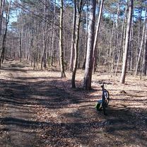
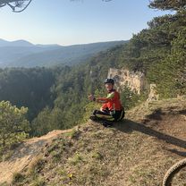
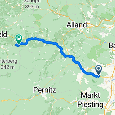
Hölles - Hirtenberg - Guglzipf - Lindabrunn Mountainbike
- 20.7 km
- 399 m
- 399 m
- Hirtenberg, Lower Austria, Austria
A cycling route starting in Hirtenberg, Lower Austria, Austria.
Overview
created this 9 years ago

Route quality
Track
11.3 km
(60 %)
Quiet road
3 km
(16 %)
Paved
6 km
(32 %)
Unpaved
10.8 km
(57 %)
Asphalt
6 km
(32 %)
Unpaved (undefined)
4.7 km
(25 %)
Continue with Bikemap
You would like to ride Ausfahrt durch Gemeinde Enzesfeld-Lindabrunn or customize it for your own trip? Here is what you can do with this Bikemap route:
Free trial for 3 days, or one-time payment. More about Bikemap Premium.
Discover more Premium features.
Get Bikemap PremiumFrom our community
Open it in the app