pętla świętokrzyska 2
- 117.6 km
- 1,240 m
- 1,242 m
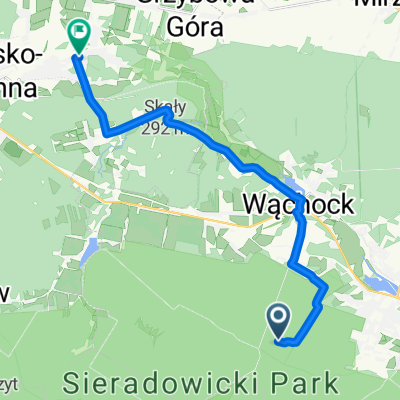
- Wąchock, Świętokrzyskie Voivodship, Poland
A cycling route starting in Wąchock, Świętokrzyskie Voivodship, Poland.
Overview
A quite demanding route leading through forested hills and fields. Along the way, one can encounter many monuments as well as traces of partisans' presence in this area. Along part of the route, there is a view of the Świętokrzyskie Mountains. The major towns along the route are Wąchock, Kałków, Waśniów, and Ostrowiec.
created this 9 years ago
Route quality
Road
19.9 km
(29 %)
Quiet road
17.8 km
(26 %)
Paved
52.7 km
(77 %)
Unpaved
8.2 km
(12 %)
Asphalt
45.2 km
(66 %)
Paved (undefined)
7.5 km
(11 %)
Route highlights

Rezerwat Wykus i cmentarz wojenny

Sanktuarium w Kałkowie

Zalew Wióry

Kościół w Waśniowie

Wiatrak "Holender" z 2 poł. XIX w.

Leśna Kapliczka
Continue with Bikemap
You would like to ride Wycieczka krajoznawcza w północnym regionie woj. Świętokrzyskiego or customize it for your own trip? Here is what you can do with this Bikemap route:
Free trial for 3 days, or one-time payment. More about Bikemap Premium.
Discover more Premium features.
Get Bikemap PremiumFrom our community
Open it in the app