

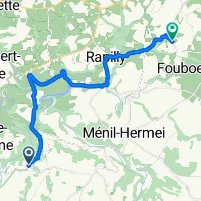
116 km Putanges
A cycling route starting in Pont-Écrepin, Normandy, France.
Overview
About this route
- -:--
- Duration
- 116.4 km
- Distance
- 859 m
- Ascent
- 857 m
- Descent
- ---
- Avg. speed
- ---
- Max. altitude
Route quality
Waytypes & surfaces along the route
Waytypes
Quiet road
4.7 km
(4 %)
Road
1.2 km
(1 %)
Surfaces
Paved
4.7 km
(4 %)
Asphalt
4.7 km
(4 %)
Undefined
111.8 km
(96 %)
Continue with Bikemap
Use, edit, or download this cycling route
You would like to ride 116 km Putanges or customize it for your own trip? Here is what you can do with this Bikemap route:
Free features
- Save this route as favorite or in collections
- Copy & plan your own version of this route
- Split it into stages to create a multi-day tour
- Sync your route with Garmin or Wahoo
Premium features
Free trial for 3 days, or one-time payment. More about Bikemap Premium.
- Navigate this route on iOS & Android
- Export a GPX / KML file of this route
- Create your custom printout (try it for free)
- Download this route for offline navigation
Discover more Premium features.
Get Bikemap PremiumFrom our community
Other popular routes starting in Pont-Écrepin
 Day40
Day40- Distance
- 40.4 km
- Ascent
- 600 m
- Descent
- 602 m
- Location
- Pont-Écrepin, Normandy, France
 N P Orne
- Distance
- 51.2 km
- Ascent
- 679 m
- Descent
- 679 m
- Location
- Pont-Écrepin, Normandy, France
 Flers: du lac aux gorges de l'orne + putanges-le-lac + les méandres de l'orne
- Distance
- 64.8 km
- Ascent
- 553 m
- Descent
- 555 m
- Location
- Pont-Écrepin, Normandy, France
 2 Venelle du Lavoir, Rabodanges to D781, Neuvy-au-Houlme
- Distance
- 23.4 km
- Ascent
- 394 m
- Descent
- 472 m
- Location
- Pont-Écrepin, Normandy, France
 N P Orne kurz
- Distance
- 45.6 km
- Ascent
- 601 m
- Descent
- 601 m
- Location
- Pont-Écrepin, Normandy, France
 116 km Putanges
- Distance
- 116.4 km
- Ascent
- 859 m
- Descent
- 857 m
- Location
- Pont-Écrepin, Normandy, France
 Victaulo Retour
- Distance
- 74.5 km
- Ascent
- 457 m
- Descent
- 640 m
- Location
- Pont-Écrepin, Normandy, France
 Rue des Granitiers, Athis-Val de Rouvre to Route de Fourneaux, Les Loges-Saulces
- Distance
- 14.1 km
- Ascent
- 315 m
- Descent
- 278 m
- Location
- Pont-Écrepin, Normandy, France
Open it in the app