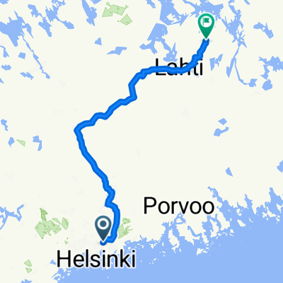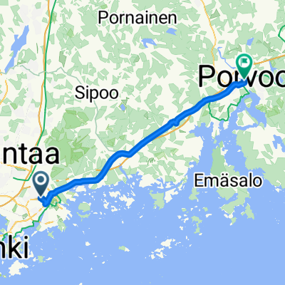
Korvatunturinpolku, Helsinki to Ralinginkuja, Porvoo
- 40.1 km
- 122 m
- 118 m
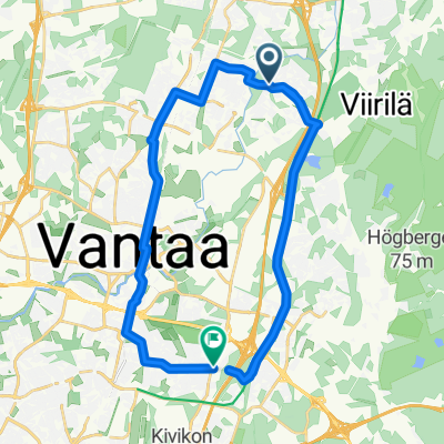
- Vantaa, Uusimaa, Finland
A cycling route starting in Vantaa, Uusimaa, Finland.
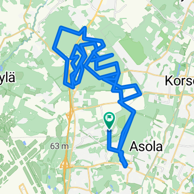
Overview
created this 9 years ago
Route quality
Cycleway
46.6 km
(85 %)
Quiet road
4.9 km
(9 %)
Paved
49.8 km
(91 %)
Unpaved
3.3 km
(6 %)
Paved (undefined)
29 km
(53 %)
Asphalt
20.8 km
(38 %)
Route highlights

Vuosaari..near railway lines at terminal

karhusaari next stop
Continue with Bikemap
You would like to ride Vuosaari towards Porvoo or customize it for your own trip? Here is what you can do with this Bikemap route:
Free trial for 3 days, or one-time payment. More about Bikemap Premium.
Discover more Premium features.
Get Bikemap PremiumFrom our community
Open it in the app