
Faire Son Marché À Bicyclette...
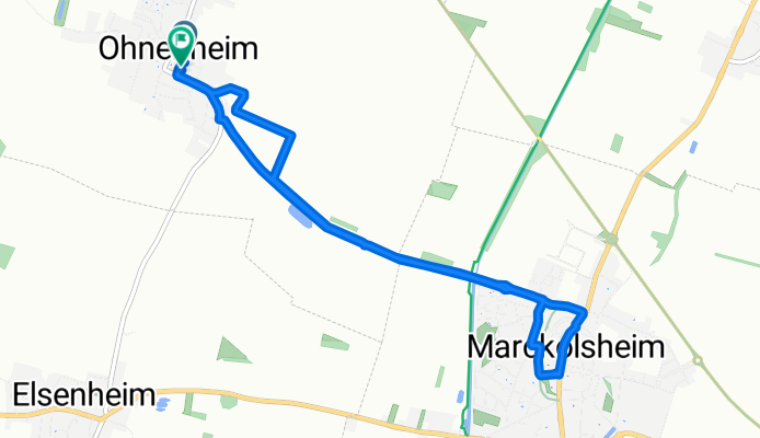
A cycling route starting in Marckolsheim, Grand Est, France.
Overview
About this route
And buy good sports bread, local cheese, mangos from Mali (solidarity and fair production) and plenty of good Italian treats!
- -:--
- Duration
- 8.5 km
- Distance
- 8 m
- Ascent
- 8 m
- Descent
- ---
- Avg. speed
- ---
- Max. altitude

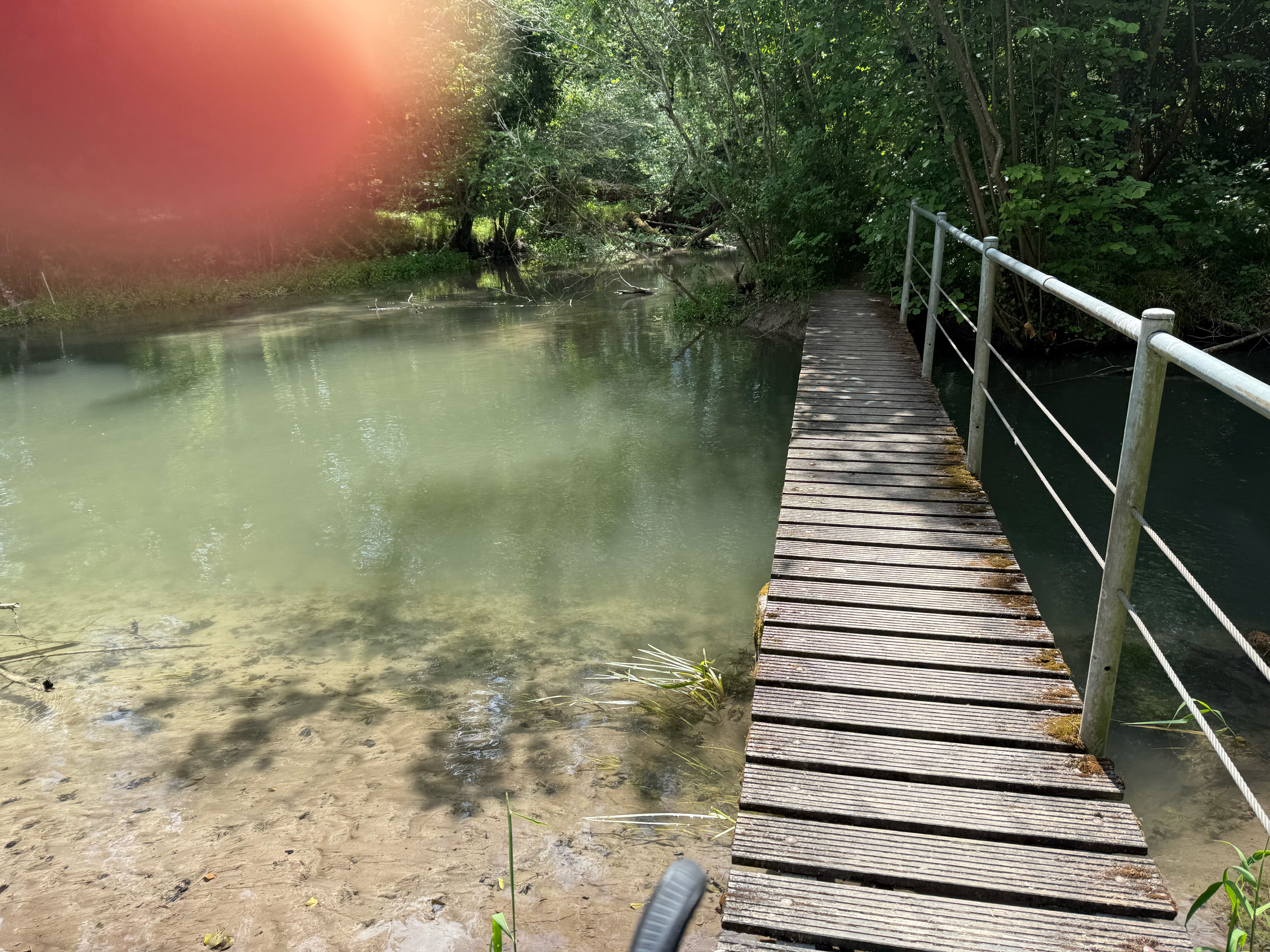
Route photos


Route quality
Waytypes & surfaces along the route
Waytypes
Road
6 km
(71 %)
Quiet road
1.1 km
(13 %)
Surfaces
Paved
0.3 km
(3 %)
Unpaved
0.9 km
(11 %)
Unpaved (undefined)
0.7 km
(8 %)
Asphalt
0.3 km
(3 %)
Continue with Bikemap
Use, edit, or download this cycling route
You would like to ride Faire Son Marché À Bicyclette... or customize it for your own trip? Here is what you can do with this Bikemap route:
Free features
- Save this route as favorite or in collections
- Copy & plan your own version of this route
- Sync your route with Garmin or Wahoo
Premium features
Free trial for 3 days, or one-time payment. More about Bikemap Premium.
- Navigate this route on iOS & Android
- Export a GPX / KML file of this route
- Create your custom printout (try it for free)
- Download this route for offline navigation
Discover more Premium features.
Get Bikemap PremiumFrom our community
Other popular routes starting in Marckolsheim
 steve
steve- Distance
- 64.6 km
- Ascent
- 715 m
- Descent
- 644 m
- Location
- Marckolsheim, Grand Est, France
 98 Rue de la Deuxième Division Blindée, Ohnenheim to Place d'Unterlinden, Colmar
- Distance
- 28 km
- Ascent
- 62 m
- Descent
- 44 m
- Location
- Marckolsheim, Grand Est, France
 16 Route d'Artzenheim, Marckolsheim à 20 Rue de la 1ère Armée, Fessenheim
- Distance
- 33.6 km
- Ascent
- 434 m
- Descent
- 405 m
- Location
- Marckolsheim, Grand Est, France
 Limburg Parkplatz - Hohkönigsburg
- Distance
- 71.2 km
- Ascent
- 695 m
- Descent
- 698 m
- Location
- Marckolsheim, Grand Est, France
 Canal du Rhone au Rhin 67, Marckolsheim nach Rue Pierre de Coubertin 1, Mulhouse
- Distance
- 67.8 km
- Ascent
- 112 m
- Descent
- 45 m
- Location
- Marckolsheim, Grand Est, France
 De Rue de Saint-Cyprien 25, Mackenheim à Rue de Saint-Cyprien 25, Mackenheim
- Distance
- 20 km
- Ascent
- 27 m
- Descent
- 84 m
- Location
- Marckolsheim, Grand Est, France
 Rhine Cycle Route
- Distance
- 161.9 km
- Ascent
- 35 m
- Descent
- 93 m
- Location
- Marckolsheim, Grand Est, France
 Marckolsheim voie vert Tulla
- Distance
- 23.4 km
- Ascent
- 10 m
- Descent
- 9 m
- Location
- Marckolsheim, Grand Est, France
Open it in the app