

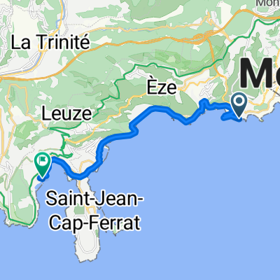
CapFerrat-Cannes-SaintRaphael
A cycling route starting in Fontvieille, Municipality of Monaco, Monaco.
Overview
About this route
created with OpenStreetMap, bike paths still need to be checked
- -:--
- Duration
- 87.2 km
- Distance
- 262 m
- Ascent
- 257 m
- Descent
- ---
- Avg. speed
- ---
- Max. altitude

Route quality
Waytypes & surfaces along the route
Waytypes
Cycleway
11.3 km
(13 %)
Access road
7 km
(8 %)
Surfaces
Paved
81.9 km
(94 %)
Asphalt
77.6 km
(89 %)
Paved (undefined)
2.6 km
(3 %)
Route highlights
Points of interest along the route
Accommodation after 55.7 km
Hotel La Chalanque
Continue with Bikemap
Use, edit, or download this cycling route
You would like to ride CapFerrat-Cannes-SaintRaphael or customize it for your own trip? Here is what you can do with this Bikemap route:
Free features
- Save this route as favorite or in collections
- Copy & plan your own version of this route
- Split it into stages to create a multi-day tour
- Sync your route with Garmin or Wahoo
Premium features
Free trial for 3 days, or one-time payment. More about Bikemap Premium.
- Navigate this route on iOS & Android
- Export a GPX / KML file of this route
- Create your custom printout (try it for free)
- Download this route for offline navigation
Discover more Premium features.
Get Bikemap PremiumFrom our community
Other popular routes starting in Fontvieille
 Søndag Monaco
- Distance
- 83.2 km
- Ascent
- 2,391 m
- Descent
- 2,394 m
- Location
- Fontvieille, Municipality of Monaco, Monaco
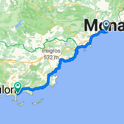
 col de torino
- Distance
- 125.7 km
- Ascent
- 2,485 m
- Descent
- 2,489 m
- Location
- Fontvieille, Municipality of Monaco, Monaco
 Sentier du Bord de Mer, Cap-d'Ail to Rue des Galères, Villefranche-sur-Mer
- Distance
- 13.4 km
- Ascent
- 467 m
- Descent
- 473 m
- Location
- Fontvieille, Municipality of Monaco, Monaco
 Braus - Madone
- Distance
- 109.8 km
- Ascent
- 3,715 m
- Descent
- 3,720 m
- Location
- Fontvieille, Municipality of Monaco, Monaco
 CapFerrat-Cannes-SaintRaphael
- Distance
- 87.2 km
- Ascent
- 262 m
- Descent
- 257 m
- Location
- Fontvieille, Municipality of Monaco, Monaco
 Seconda Tappa Lourdes
- Distance
- 168.2 km
- Ascent
- 484 m
- Descent
- 498 m
- Location
- Fontvieille, Municipality of Monaco, Monaco
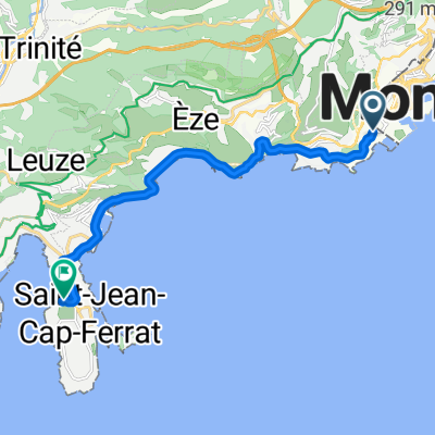 Tunnel Albert II, Mónaco a Chemin de Passable, Saint-Jean-Cap-Ferrat
- Distance
- 11.6 km
- Ascent
- 125 m
- Descent
- 147 m
- Location
- Fontvieille, Municipality of Monaco, Monaco
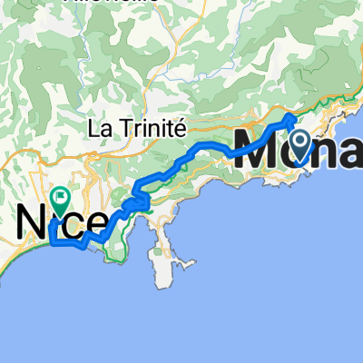 Avenue du Trois Septembre to Avenue Jean Médecin
- Distance
- 30.9 km
- Ascent
- 1,627 m
- Descent
- 1,631 m
- Location
- Fontvieille, Municipality of Monaco, Monaco
Open it in the app