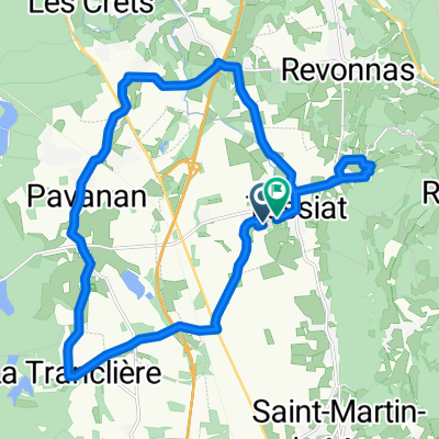
De Chemin des Teppes à Chemin des Teppes
- 20.6 km
- 67 m
- 125 m
- Tossiat, Auvergne-Rhône-Alpes, France
A cycling route starting in Tossiat, Auvergne-Rhône-Alpes, France.
Overview
created this 9 years ago
Route quality
Road
47.3 km
(63 %)
Quiet road
11.3 km
(15 %)
Paved
26.3 km
(35 %)
Asphalt
26.3 km
(35 %)
Undefined
48.8 km
(65 %)
Route highlights
Col de la Pérouse
Trou du Sac 512 metres
Col de France 371 metres
Col de la Rousse 380 metres
Collet de Chavannes 520 metres

Gorges de l'Ain
Col de la Roche 401 metres
Continue with Bikemap
You would like to ride Col Hunting and the Gorges de l'Ain or customize it for your own trip? Here is what you can do with this Bikemap route:
Free trial for 3 days, or one-time payment. More about Bikemap Premium.
Discover more Premium features.
Get Bikemap PremiumFrom our community
Open it in the app