Schömberg
- 34.3 km
- 320 m
- 202 m
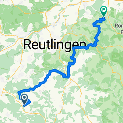
- Jungingen, Baden-Wurttemberg, Germany
A cycling route starting in Jungingen, Baden-Wurttemberg, Germany.
Overview
from Mössingen via Salmendingen, Ringingen, Burladingen, Hermannsdorf, Bitz, Winterlingen, Laiz, Göggingen... continuing on to Uhldingen-Mühlhofen-Gebhardsweiler
created this 9 years ago
Route quality
Road
34.3 km
(35 %)
Quiet road
25.5 km
(26 %)
Paved
64.7 km
(66 %)
Unpaved
2 km
(2 %)
Asphalt
61.7 km
(63 %)
Paved (undefined)
2 km
(2 %)
Continue with Bikemap
You would like to ride Salmend-Gögg-Laiz-Mühlh. or customize it for your own trip? Here is what you can do with this Bikemap route:
Free trial for 3 days, or one-time payment. More about Bikemap Premium.
Discover more Premium features.
Get Bikemap PremiumFrom our community
Open it in the app