Muddy trip 🙂
- 32.7 km
- 537 m
- 538 m
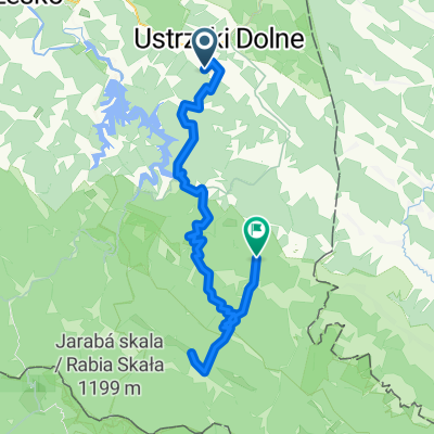
- Ustrzyki Dolne, Subcarpathian Voivodeship, Poland
A cycling route starting in Ustrzyki Dolne, Subcarpathian Voivodeship, Poland.
Overview
Stage IV of the Ivano-Frankivsk - Nowa Sól rally
created this 16 years ago
Route quality
Road
29.4 km
(25 %)
Track
14.1 km
(12 %)
Paved
89.4 km
(76 %)
Unpaved
4.7 km
(4 %)
Asphalt
85.9 km
(73 %)
Gravel
4.7 km
(4 %)
Continue with Bikemap
You would like to ride Ustrzyki Dolne - Strzyżów or customize it for your own trip? Here is what you can do with this Bikemap route:
Free trial for 3 days, or one-time payment. More about Bikemap Premium.
Discover more Premium features.
Get Bikemap PremiumFrom our community
Open it in the app