

Relaxed route in Pouilly-lès-Feurs
- 6.7 km
- 59 m
- 52 m
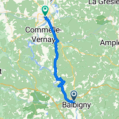
- Balbigny, Auvergne-Rhône-Alpes, France
A cycling route starting in Balbigny, Auvergne-Rhône-Alpes, France.
Overview
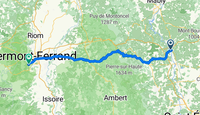
Camping La Route Bleue Lieu dit Praléry, 42510 Balbigny
Camping municipal le Chanset Rue du camping, 63122 Ceyrat
created this 9 years ago
Route quality
Road
68.8 km
(58 %)
Quiet road
30.8 km
(26 %)
Paved
22.5 km
(19 %)
Unpaved
3.6 km
(3 %)
Asphalt
22.5 km
(19 %)
Gravel
2.4 km
(2 %)
Continue with Bikemap
You would like to ride Tour 7 (Balbigny - Clermont Ferrand) or customize it for your own trip? Here is what you can do with this Bikemap route:
Free trial for 3 days, or one-time payment. More about Bikemap Premium.
Discover more Premium features.
Get Bikemap PremiumFrom our community
Open it in the app