

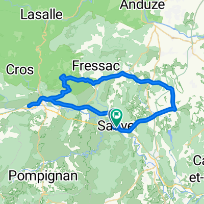
2016 Ride Day 61 - Sauve to Saint-Bonnet-du-Gard
A cycling route starting in Sauve, Languedoc-Roussillon-Midi-Pyrénées, France.
Overview
About this route
With the exception of the first few kilometers on D999 and some of the last roads into Remoulins, these were decent, though, uninspired small roads definitely OK for riding, but uninspiring for the most part with just a few reasonably scenic parts.
There was some bicycle path and bicycle lanes near the Pont du Gard.
- -:--
- Duration
- 65.3 km
- Distance
- 451 m
- Ascent
- 483 m
- Descent
- ---
- Avg. speed
- ---
- Max. altitude

Route photos


Route quality
Waytypes & surfaces along the route
Waytypes
Busy road
42.1 km
(64 %)
Road
18.1 km
(28 %)
Surfaces
Paved
33.9 km
(52 %)
Unpaved
0.1 km
(<1 %)
Asphalt
33.8 km
(52 %)
Ground
0.1 km
(<1 %)
Continue with Bikemap
Use, edit, or download this cycling route
You would like to ride 2016 Ride Day 61 - Sauve to Saint-Bonnet-du-Gard or customize it for your own trip? Here is what you can do with this Bikemap route:
Free features
- Save this route as favorite or in collections
- Copy & plan your own version of this route
- Sync your route with Garmin or Wahoo
Premium features
Free trial for 3 days, or one-time payment. More about Bikemap Premium.
- Navigate this route on iOS & Android
- Export a GPX / KML file of this route
- Create your custom printout (try it for free)
- Download this route for offline navigation
Discover more Premium features.
Get Bikemap PremiumFrom our community
Other popular routes starting in Sauve
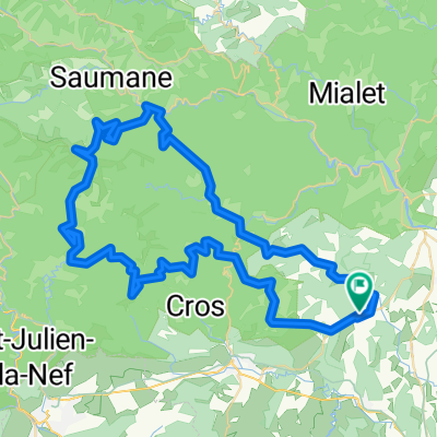
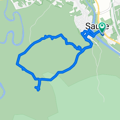
 rondje sauve
- Distance
- 42 km
- Ascent
- 292 m
- Descent
- 304 m
- Location
- Sauve, Languedoc-Roussillon-Midi-Pyrénées, France
 MUC Cyclo-Portée du 21 mai 2014
- Distance
- 85.5 km
- Ascent
- 1,304 m
- Descent
- 1,304 m
- Location
- Sauve, Languedoc-Roussillon-Midi-Pyrénées, France
 90km cévènnes
- Distance
- 90.5 km
- Ascent
- 1,520 m
- Descent
- 1,521 m
- Location
- Sauve, Languedoc-Roussillon-Midi-Pyrénées, France
 2016 Ride Day 61 - Sauve to Saint-Bonnet-du-Gard
- Distance
- 65.3 km
- Ascent
- 451 m
- Descent
- 483 m
- Location
- Sauve, Languedoc-Roussillon-Midi-Pyrénées, France
 Mer des Rochers à SAUVE ( Gard, Occitanie )
- Distance
- 4.6 km
- Ascent
- 78 m
- Descent
- 77 m
- Location
- Sauve, Languedoc-Roussillon-Midi-Pyrénées, France
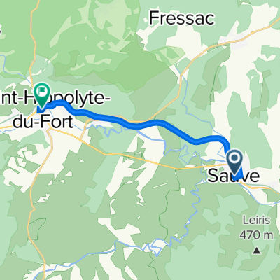 Voie Verte Sauve / Saint Hippolyte du Fort
- Distance
- 9.9 km
- Ascent
- 142 m
- Descent
- 64 m
- Location
- Sauve, Languedoc-Roussillon-Midi-Pyrénées, France
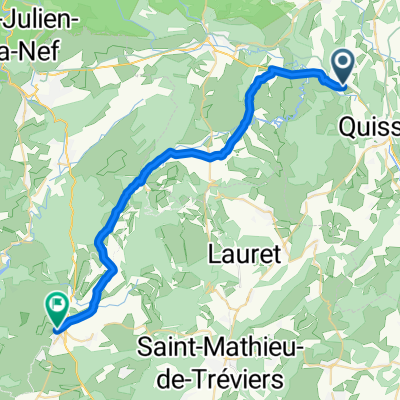 Sauve to St Martin de Londres
- Distance
- 32.6 km
- Ascent
- 361 m
- Descent
- 251 m
- Location
- Sauve, Languedoc-Roussillon-Midi-Pyrénées, France
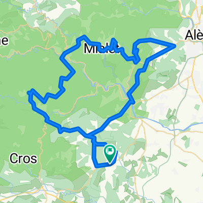
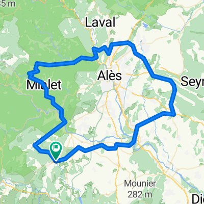 de mas sivelou autour d'alès
- Distance
- 105.7 km
- Ascent
- 930 m
- Descent
- 933 m
- Location
- Sauve, Languedoc-Roussillon-Midi-Pyrénées, France
Open it in the app