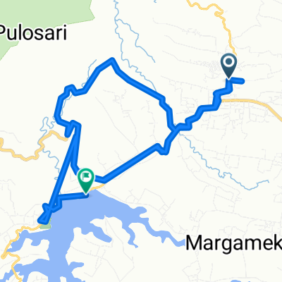
Wayang Windu (edit)
A cycling route starting in Santosa, West Java, Indonesia.
Overview
About this route
Start kertamanah (sebelum pangalengan kota)
- -:--
- Duration
- 11.1 km
- Distance
- 504 m
- Ascent
- 197 m
- Descent
- ---
- Avg. speed
- ---
- Avg. speed
Route quality
Waytypes & surfaces along the route
Waytypes
Quiet road
11.1 km
(100 %)
Surfaces
Paved
9.5 km
(86 %)
Asphalt
9.5 km
(86 %)
Undefined
1.5 km
(14 %)
Continue with Bikemap
Use, edit, or download this cycling route
You would like to ride Wayang Windu (edit) or customize it for your own trip? Here is what you can do with this Bikemap route:
Free features
- Save this route as favorite or in collections
- Copy & plan your own version of this route
- Sync your route with Garmin or Wahoo
Premium features
Free trial for 3 days, or one-time payment. More about Bikemap Premium.
- Navigate this route on iOS & Android
- Export a GPX / KML file of this route
- Create your custom printout (try it for free)
- Download this route for offline navigation
Discover more Premium features.
Get Bikemap PremiumFrom our community
Other popular routes starting in Santosa
- PAB Kertamanah - Situ Cileunca
- Distance
- 14.2 km
- Ascent
- 145 m
- Descent
- 468 m
- Location
- Santosa, West Java, Indonesia
- Wayang Windu
- Distance
- 25.8 km
- Ascent
- 603 m
- Descent
- 546 m
- Location
- Santosa, West Java, Indonesia
- RJ62+VF9, Kecamatan Pangalengan to RH2P+CP5, Kecamatan Pangalengan
- Distance
- 4.8 km
- Ascent
- 90 m
- Descent
- 116 m
- Location
- Santosa, West Java, Indonesia
- Route CikarangMTB KOLOZAL #12
- Distance
- 28.1 km
- Ascent
- 575 m
- Descent
- 606 m
- Location
- Santosa, West Java, Indonesia
- Touring bareng rsud soreang
- Distance
- 18.4 km
- Ascent
- 505 m
- Descent
- 467 m
- Location
- Santosa, West Java, Indonesia
- Wayang Windu (edit)
- Distance
- 11.1 km
- Ascent
- 504 m
- Descent
- 197 m
- Location
- Santosa, West Java, Indonesia
- Sedep to Gn. Kendang Tegalpanjang
- Distance
- 24 km
- Ascent
- 726 m
- Descent
- 725 m
- Location
- Santosa, West Java, Indonesia
- Jalan Raya Pangalengan 19, Kecamatan Pangalengan to Jalan Situ Cileunca, Kecamatan Pangalengan
- Distance
- 7.5 km
- Ascent
- 156 m
- Descent
- 162 m
- Location
- Santosa, West Java, Indonesia
Open it in the app