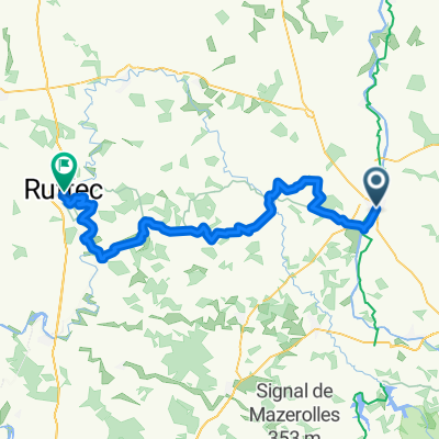
Confolens to La Chapelle-Montbrandeix
- 55.5 km
- 584 m
- 329 m
- Confolens, Nouvelle-Aquitaine, France
A cycling route starting in Confolens, Nouvelle-Aquitaine, France.
Overview
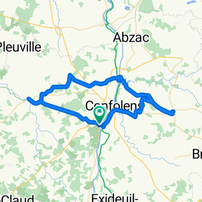
Reduced route between Confolens and Nontron
created this 9 years ago
Route quality
Quiet road
11.8 km
(36 %)
Road
11.2 km
(34 %)
Paved
23 km
(70 %)
Unpaved
1.6 km
(5 %)
Asphalt
22.7 km
(69 %)
Ground
1.6 km
(5 %)
Continue with Bikemap
You would like to ride Confolens to Rochechouart or customize it for your own trip? Here is what you can do with this Bikemap route:
Free trial for 3 days, or one-time payment. More about Bikemap Premium.
Discover more Premium features.
Get Bikemap PremiumFrom our community
Open it in the app