To Danny
- 58.4 km
- 1,506 m
- 1,414 m
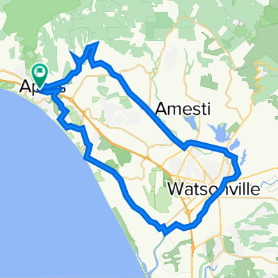
- Aptos, California, United States
A cycling route starting in Aptos, California, United States.
Overview
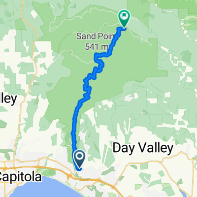
Aptos up through Forest of Nisene Marks State Park down Eureka Canyon Rd across Freedom Blvd Back to Aptos
created this 10 years ago
Route quality
Road
23 km
46 %
Track
20 km
40 %
Paved
25.5 km
(51 %)
Unpaved
19.5 km
(39 %)
Unpaved (undefined)
19.5 km
39 %
Paved (undefined)
15.5 km
31 %
Continue with Bikemap
You would like to ride Nisene Mark's State Park Loop or customize it for your own trip? Here is what you can do with this Bikemap route:
Free trial for 3 days, or one-time payment. More about Bikemap Premium.
Discover more Premium features.
Get Bikemap PremiumFrom our community
Open it in the app