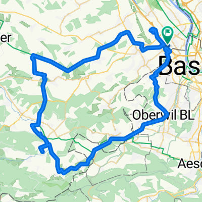
STL-SIE-MALB-ZAE-WAL-BAR-STL
A cycling route starting in Saint-Louis, Grand Est, France.
Overview
About this route
Saint-Louis
Sierentz
Magstatt-Le-Bas
Zaessingue
Walbach
Bartenheim
Saint-Louis
- -:--
- Duration
- 55.3 km
- Distance
- 214 m
- Ascent
- 211 m
- Descent
- ---
- Avg. speed
- ---
- Max. altitude
Route quality
Waytypes & surfaces along the route
Waytypes
Cycleway
15.5 km
(28 %)
Quiet road
13.8 km
(25 %)
Surfaces
Paved
24.3 km
(44 %)
Asphalt
19.3 km
(35 %)
Paved (undefined)
3.9 km
(7 %)
Continue with Bikemap
Use, edit, or download this cycling route
You would like to ride STL-SIE-MALB-ZAE-WAL-BAR-STL or customize it for your own trip? Here is what you can do with this Bikemap route:
Free features
- Save this route as favorite or in collections
- Copy & plan your own version of this route
- Sync your route with Garmin or Wahoo
Premium features
Free trial for 3 days, or one-time payment. More about Bikemap Premium.
- Navigate this route on iOS & Android
- Export a GPX / KML file of this route
- Create your custom printout (try it for free)
- Download this route for offline navigation
Discover more Premium features.
Get Bikemap PremiumFrom our community
Other popular routes starting in Saint-Louis
Suisse - Trajet planifie pour sept 2014- Distance
- 1,180.8 km
- Ascent
- 5,506 m
- Descent
- 5,513 m
- Location
- Saint-Louis, Grand Est, France
Basel torino- Distance
- 672.2 km
- Ascent
- 6,375 m
- Descent
- 6,397 m
- Location
- Saint-Louis, Grand Est, France
Velo Suisse no 1 - Sept 2014 - Trajet effectue- Distance
- 1,009.6 km
- Ascent
- 5,208 m
- Descent
- 5,210 m
- Location
- Saint-Louis, Grand Est, France
Saint-Louis nach Lörrach- Distance
- 12.4 km
- Ascent
- 102 m
- Descent
- 26 m
- Location
- Saint-Louis, Grand Est, France
St-Louis-Ranspach(s)-Blotz-Stetten-Geispitzen-Kembs-St-Louis- Distance
- 71.8 km
- Ascent
- 341 m
- Descent
- 340 m
- Location
- Saint-Louis, Grand Est, France
Saint-Louis-Biederthal-Oberwil-Saint-Louis (Shortened)- Distance
- 54.3 km
- Ascent
- 606 m
- Descent
- 606 m
- Location
- Saint-Louis, Grand Est, France
CYCLING THE RHINE: Route Approach G- Distance
- 7.8 km
- Ascent
- 43 m
- Descent
- 25 m
- Location
- Saint-Louis, Grand Est, France
De 38 Rue Charles Riescher, Hésingue à 41B Rue de Zimmersheim, Riedisheim- Distance
- 37.9 km
- Ascent
- 773 m
- Descent
- 784 m
- Location
- Saint-Louis, Grand Est, France
Open it in the app


