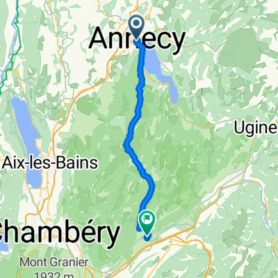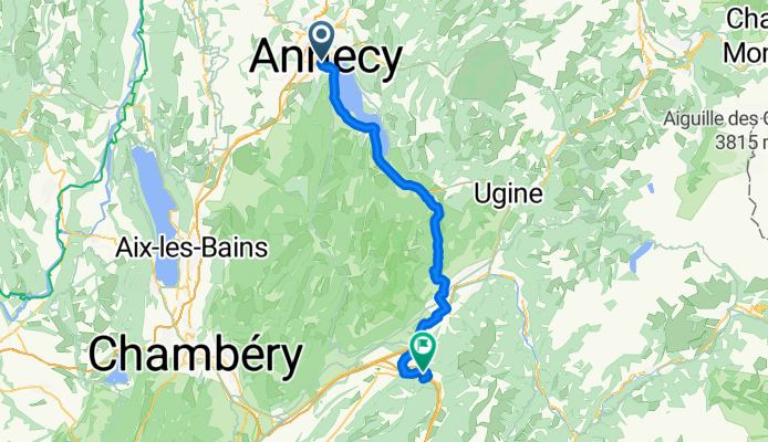

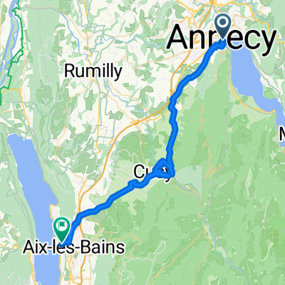
aix-le-bains nach annecy
- 46.2 km
- 751 m
- 962 m
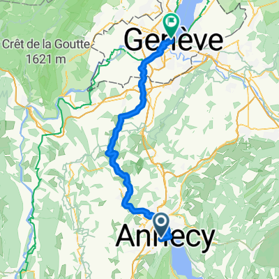
- Annecy, Auvergne-Rhône-Alpes, France
A cycling route starting in Annecy, Auvergne-Rhône-Alpes, France.
Overview
MONTGILBERT , Rhone-Alpes 73220 France
created this 9 years ago
Route quality
Cycleway
21.9 km
(36 %)
Quiet road
11.6 km
(19 %)
Paved
48.7 km
(80 %)
Asphalt
48.7 km
(80 %)
Undefined
12.2 km
(20 %)
Continue with Bikemap
You would like to ride Day 1 - Annecy to Montgilbert or customize it for your own trip? Here is what you can do with this Bikemap route:
Free trial for 3 days, or one-time payment. More about Bikemap Premium.
Discover more Premium features.
Get Bikemap PremiumFrom our community
Open it in the app