

4 Wilhelmshaven-Varel
A cycling route starting in Wilhelmshaven, Lower Saxony, Germany.
Overview
About this route
Day 4: Wilhelmshaven-Varel (37 km)
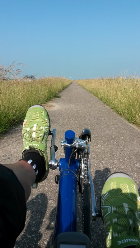
Starting from Wilhelmshaven, begin your bike tour at the Südstrand, ride a stretch along Banter See towards Mariensiel. Soon you will reach the Ems-Jade Canal, which you follow for a short distance. Up to Dangast, you cycle on a road parallel to the dike of the Jade Bight. Upon entering Dangast, you pass directly by the Dangaster Siel. Right behind the Siel lies the Dangaster harbor, home port to cutter fishermen, marinas, and the passenger ship Etta von Dangast. From Dangast, continue the last cycling kilometers of your tour along the dike until you reach the Varel harbor.
- -:--
- Duration
- 36.3 km
- Distance
- 6 m
- Ascent
- 5 m
- Descent
- ---
- Avg. speed
- ---
- Max. altitude
Route quality
Waytypes & surfaces along the route
Waytypes
Quiet road
16.3 km
(45 %)
Path
9.8 km
(27 %)
Surfaces
Paved
25.1 km
(69 %)
Unpaved
0.7 km
(2 %)
Asphalt
12.7 km
(35 %)
Concrete
12 km
(33 %)
Continue with Bikemap
Use, edit, or download this cycling route
You would like to ride 4 Wilhelmshaven-Varel or customize it for your own trip? Here is what you can do with this Bikemap route:
Free features
- Save this route as favorite or in collections
- Copy & plan your own version of this route
- Sync your route with Garmin or Wahoo
Premium features
Free trial for 3 days, or one-time payment. More about Bikemap Premium.
- Navigate this route on iOS & Android
- Export a GPX / KML file of this route
- Create your custom printout (try it for free)
- Download this route for offline navigation
Discover more Premium features.
Get Bikemap PremiumFrom our community
Other popular routes starting in Wilhelmshaven
 W_WHV-Dangast
- Distance
- 37.9 km
- Ascent
- 18 m
- Descent
- 19 m
- Location
- Wilhelmshaven, Lower Saxony, Germany
 Zum Säüdstrand
- Distance
- 15.4 km
- Ascent
- 4 m
- Descent
- 5 m
- Location
- Wilhelmshaven, Lower Saxony, Germany
 Valoisstraße 15, Wilhelmshaven nach Valoisstraße 15, Wilhelmshaven
- Distance
- 251.4 km
- Ascent
- 1,136 m
- Descent
- 1,141 m
- Location
- Wilhelmshaven, Lower Saxony, Germany
 Wilhelmhaven-Aurich
- Distance
- 46.6 km
- Ascent
- 26 m
- Descent
- 20 m
- Location
- Wilhelmshaven, Lower Saxony, Germany
 whv-horumersiel
- Distance
- 25.6 km
- Ascent
- 0 m
- Descent
- 0 m
- Location
- Wilhelmshaven, Lower Saxony, Germany
 Fahrrad
- Distance
- 54.7 km
- Ascent
- 5 m
- Descent
- 6 m
- Location
- Wilhelmshaven, Lower Saxony, Germany
 4 Wilhelmshaven-Varel
- Distance
- 36.3 km
- Ascent
- 6 m
- Descent
- 5 m
- Location
- Wilhelmshaven, Lower Saxony, Germany
 Opa-Wenzel-Weg 108, Wilhelmshaven nach Opa-Wenzel-Weg 108, Wilhelmshaven
- Distance
- 8.8 km
- Ascent
- 29 m
- Descent
- 25 m
- Location
- Wilhelmshaven, Lower Saxony, Germany
Open it in the app