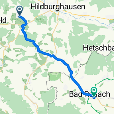
Dillstädt-Trostadt-Hohe Straße-Brattendorf-Schnett-Unterneubrunn-Schleusingen-Suhl-Dillstädt (Teil 2)
A cycling route starting in Reurieth, Thuringia, Germany.
Overview
About this route
Unfortunately, the Navi's battery doesn't last all day, so part 2 is recorded. It would already count as a tour, but overall I rode 113.5 km. I accumulated 1,560 meters of elevation. At the beginning, I didn't just stay on the bike path, but I didn't know where to go yet. At least I found a new section with the entire Hohe Straße via Gerhardtsgereuth, which I can take when I want to go up to Masserberg or to the Werra source. Unfortunately, I made the wrong decision in the Bibertal. Instead of going left to Biberschlag and then up the forest road to Schnett, I went right to Tellerhammer. At the Weidachsmühle, I tried to take another path – unfortunately, it simply ended, so I had to go back down. I also couldn't get further via Einsiedel. The grassy path above the cemetery was too steep, so I went down and climbed up on the road from Heubach. I stayed on the road down to Schönbrunn. There is another path, but time was running out. On the old railway line, I turned off the device. The only contribution after that is the bike path from Ratscher to Schleusingen climbing up to Einfürst by the A73. It creaks once more there, then home via Friedberg.
- -:--
- Duration
- 42.2 km
- Distance
- 862 m
- Ascent
- 732 m
- Descent
- ---
- Avg. speed
- ---
- Max. altitude
Continue with Bikemap
Use, edit, or download this cycling route
You would like to ride Dillstädt-Trostadt-Hohe Straße-Brattendorf-Schnett-Unterneubrunn-Schleusingen-Suhl-Dillstädt (Teil 2) or customize it for your own trip? Here is what you can do with this Bikemap route:
Free features
- Save this route as favorite or in collections
- Copy & plan your own version of this route
- Sync your route with Garmin or Wahoo
Premium features
Free trial for 3 days, or one-time payment. More about Bikemap Premium.
- Navigate this route on iOS & Android
- Export a GPX / KML file of this route
- Create your custom printout (try it for free)
- Download this route for offline navigation
Discover more Premium features.
Get Bikemap PremiumFrom our community
Other popular routes starting in Reurieth
 Mitte Deutschlandtour 2.Tag
- Distance
- 68.5 km
- Ascent
- 296 m
- Descent
- 391 m
- Location
- Reurieth, Thuringia, Germany
 Werra-Radweg1
- Distance
- 264.7 km
- Ascent
- 187 m
- Descent
- 431 m
- Location
- Reurieth, Thuringia, Germany
 Waldhausstraße, Römhild nach Pfersdorfer Hauptstraße 16, Hildburghausen
- Distance
- 11.3 km
- Ascent
- 180 m
- Descent
- 178 m
- Location
- Reurieth, Thuringia, Germany
 Pfersdorfer Hauptstraße 11, Hildburghausen nach Hildburghäuser Straße 40, Bad Rodach
- Distance
- 27.4 km
- Ascent
- 111 m
- Descent
- 239 m
- Location
- Reurieth, Thuringia, Germany
 Extensive Sonntag Course In Hildburghausen
- Distance
- 26.4 km
- Ascent
- 479 m
- Descent
- 476 m
- Location
- Reurieth, Thuringia, Germany
 Trostädter Dorfstraße 7–8, Reurieth nach Dambachtal 103, Schleusingen
- Distance
- 17.2 km
- Ascent
- 379 m
- Descent
- 202 m
- Location
- Reurieth, Thuringia, Germany
 Pfersdorfer Gries 3–5, Hildburghausen nach Ludwig-Strecker-Straße 6a–8, Bad Rodach
- Distance
- 14.5 km
- Ascent
- 49 m
- Descent
- 181 m
- Location
- Reurieth, Thuringia, Germany
 von Ebenhards nach Hirschbach
- Distance
- 20.4 km
- Ascent
- 175 m
- Descent
- 104 m
- Location
- Reurieth, Thuringia, Germany
Open it in the app

