Gaubahn-, Tauber-, Mainradwegschleife
- 220.1 km
- 278 m
- 278 m
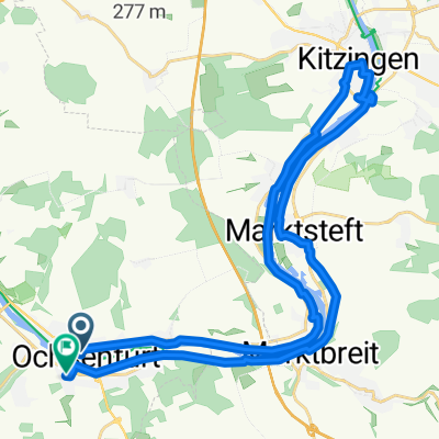
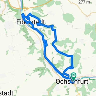
- Ochsenfurt, Bavaria, Germany
A cycling route starting in Ochsenfurt, Bavaria, Germany.
Overview
The Gaubahnradweg is completely gravelled and the orientation is relatively simple. However, you can tell that you are in the border area between Bavaria and Baden-Württemberg. In Ochsenfurt, crossing by ferry (Nixe) is preferable, as the Main bridge is not passable by bike. From now on, it is necessary to follow the wide and well-developed Main cycle path. Only in Gemünden and in some town passages are you forced to use the heavily trafficked roads. Getting lost is not an option if you have decided on the right riverbank. Upon arriving in the Taubertal, the first few kilometers are a bit hillier and therefore more varied. Already before TBB, it is rather flat and steadily ascending.
created this 16 years ago
Route quality
Track
52.6 km
(23 %)
Cycleway
52.6 km
(23 %)
Paved
199 km
(87 %)
Unpaved
2.3 km
(1 %)
Asphalt
187.6 km
(82 %)
Paved (undefined)
11.4 km
(5 %)
Continue with Bikemap
You would like to ride Fränkische Rad-Runde 2010 or customize it for your own trip? Here is what you can do with this Bikemap route:
Free trial for 3 days, or one-time payment. More about Bikemap Premium.
Discover more Premium features.
Get Bikemap PremiumFrom our community
Open it in the app