NVA Route 2016 - 18 mei
- 101.6 km
- 63 m
- 30 m
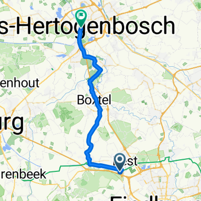
- Best, North Brabant, The Netherlands
A cycling route starting in Best, North Brabant, The Netherlands.
Overview
route vanaf Best.
Gaat via Valkens waard.
Bij Achel ook kleine aanpassing.
Wij gaan eerder richting kanaaal
created this 9 years ago
Route quality
Cycleway
42.7 km
(42 %)
Quiet road
27.4 km
(27 %)
Paved
58.9 km
(58 %)
Unpaved
3 km
(3 %)
Asphalt
54.9 km
(54 %)
Concrete
4.1 km
(4 %)
Route highlights
startpunt
Continue with Bikemap
You would like to ride NVA Route 2016 - 18 mei or customize it for your own trip? Here is what you can do with this Bikemap route:
Free trial for 3 days, or one-time payment. More about Bikemap Premium.
Discover more Premium features.
Get Bikemap PremiumFrom our community
Open it in the app