Streuobst-Radroute Kohlberg - Owen
- 12 km
- 120 m
- 333 m
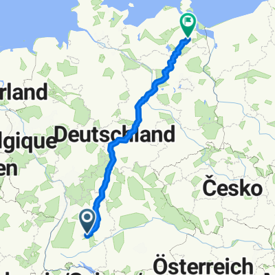
- Kohlberg, Baden-Wurttemberg, Germany
A cycling route starting in Kohlberg, Baden-Wurttemberg, Germany.
Overview
Honau Alb Rack Railway
created this 9 years ago
Route quality
Track
33.9 km
(53 %)
Quiet road
10.9 km
(17 %)
Paved
53.1 km
(83 %)
Unpaved
8.3 km
(13 %)
Asphalt
50.5 km
(79 %)
Loose gravel
5.8 km
(9 %)
Continue with Bikemap
You would like to ride Honau Alb or customize it for your own trip? Here is what you can do with this Bikemap route:
Free trial for 3 days, or one-time payment. More about Bikemap Premium.
Discover more Premium features.
Get Bikemap PremiumFrom our community
Open it in the app