

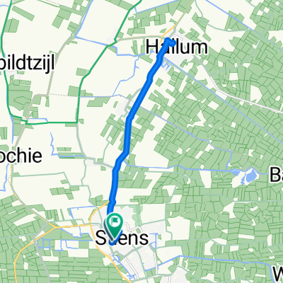
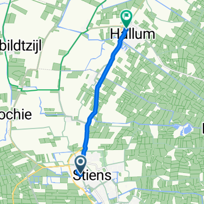
Stiens-Egmond
A cycling route starting in Stiens, Friesland, The Netherlands.
Overview
About this route
- -:--
- Duration
- 128.7 km
- Distance
- 24 m
- Ascent
- 22 m
- Descent
- ---
- Avg. speed
- ---
- Max. altitude
Continue with Bikemap
Use, edit, or download this cycling route
You would like to ride Stiens-Egmond or customize it for your own trip? Here is what you can do with this Bikemap route:
Free features
- Save this route as favorite or in collections
- Copy & plan your own version of this route
- Split it into stages to create a multi-day tour
- Sync your route with Garmin or Wahoo
Premium features
Free trial for 3 days, or one-time payment. More about Bikemap Premium.
- Navigate this route on iOS & Android
- Export a GPX / KML file of this route
- Create your custom printout (try it for free)
- Download this route for offline navigation
Discover more Premium features.
Get Bikemap PremiumFrom our community
Other popular routes starting in Stiens
 Stiens-Egmond
- Distance
- 128.7 km
- Ascent
- 24 m
- Descent
- 22 m
- Location
- Stiens, Friesland, The Netherlands
 Brédyk 15, Stiens naar Brédyk 5–7, Stiens
- Distance
- 8.8 km
- Ascent
- 29 m
- Descent
- 29 m
- Location
- Stiens, Friesland, The Netherlands
 Moundyk 16B, Stiens naar Moundyk 7, Stiens
- Distance
- 41.6 km
- Ascent
- 27 m
- Descent
- 24 m
- Location
- Stiens, Friesland, The Netherlands
 Langebuorren, Stiens naar Langebuorren, Stiens
- Distance
- 12.6 km
- Ascent
- 0 m
- Descent
- 0 m
- Location
- Stiens, Friesland, The Netherlands
 rondje stiens, finkum, hallum ee
- Distance
- 20.6 km
- Ascent
- 0 m
- Descent
- 0 m
- Location
- Stiens, Friesland, The Netherlands
 Bike Totaal naar Huis
- Distance
- 6 km
- Ascent
- 3 m
- Descent
- 3 m
- Location
- Stiens, Friesland, The Netherlands
 Auto 4
- Distance
- 49 km
- Ascent
- 0 m
- Descent
- 0 m
- Location
- Stiens, Friesland, The Netherlands
 Rondje wouden 84 km
- Distance
- 83.6 km
- Ascent
- 0 m
- Descent
- 0 m
- Location
- Stiens, Friesland, The Netherlands
Open it in the app