
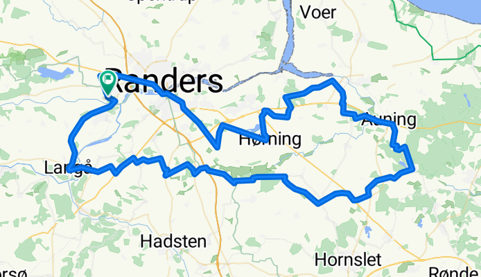
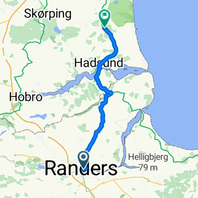
randers camping 100
A cycling route starting in Randers, Central Jutland, Denmark.
Overview
About this route
- -:--
- Duration
- 101.1 km
- Distance
- 357 m
- Ascent
- 355 m
- Descent
- ---
- Avg. speed
- ---
- Max. altitude
Route quality
Waytypes & surfaces along the route
Waytypes
Road
45.5 km
(45 %)
Quiet road
32.4 km
(32 %)
Surfaces
Paved
90 km
(89 %)
Unpaved
4 km
(4 %)
Asphalt
90 km
(89 %)
Gravel
4 km
(4 %)
Undefined
7.1 km
(7 %)
Continue with Bikemap
Use, edit, or download this cycling route
You would like to ride randers camping 100 or customize it for your own trip? Here is what you can do with this Bikemap route:
Free features
- Save this route as favorite or in collections
- Copy & plan your own version of this route
- Split it into stages to create a multi-day tour
- Sync your route with Garmin or Wahoo
Premium features
Free trial for 3 days, or one-time payment. More about Bikemap Premium.
- Navigate this route on iOS & Android
- Export a GPX / KML file of this route
- Create your custom printout (try it for free)
- Download this route for offline navigation
Discover more Premium features.
Get Bikemap PremiumFrom our community
Other popular routes starting in Randers
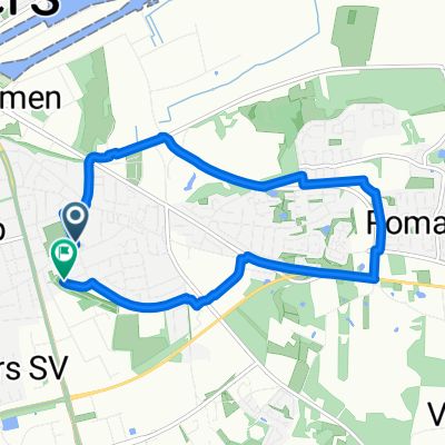
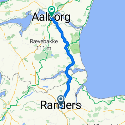 Ebeltoft - Hadsten + Hadsten - Gistrup (2/2) (1/2)
- Distance
- 85.4 km
- Ascent
- 447 m
- Descent
- 446 m
- Location
- Randers, Central Jutland, Denmark
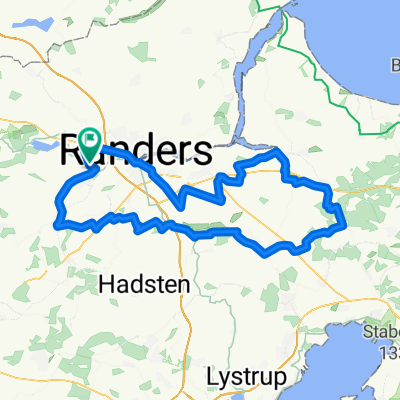
 Rundt om Gudenåen
- Distance
- 31.6 km
- Ascent
- 235 m
- Descent
- 235 m
- Location
- Randers, Central Jutland, Denmark
 randers camping 100
- Distance
- 101.1 km
- Ascent
- 357 m
- Descent
- 355 m
- Location
- Randers, Central Jutland, Denmark
 Denmark25 day11
- Distance
- 156.7 km
- Ascent
- 508 m
- Descent
- 508 m
- Location
- Randers, Central Jutland, Denmark
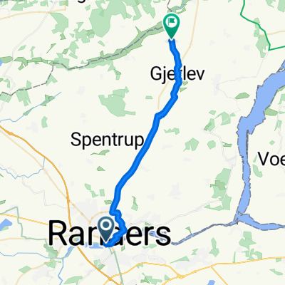 Route nach Kondrupvej 1A
- Distance
- 22.3 km
- Ascent
- 162 m
- Descent
- 141 m
- Location
- Randers, Central Jutland, Denmark
 Route in Randers Sydøst
- Distance
- 7.3 km
- Ascent
- 50 m
- Descent
- 49 m
- Location
- Randers, Central Jutland, Denmark
 Vester Velling
- Distance
- 33 km
- Ascent
- 210 m
- Descent
- 209 m
- Location
- Randers, Central Jutland, Denmark
 Route zu Solbjerg
- Distance
- 50.5 km
- Ascent
- 269 m
- Descent
- 255 m
- Location
- Randers, Central Jutland, Denmark
Open it in the app