Basel torino
A cycling route starting in Saint-Louis, Grand Est, France.
Overview
About this route
- -:--
- Duration
- 672.2 km
- Distance
- 6,375 m
- Ascent
- 6,397 m
- Descent
- ---
- Avg. speed
- ---
- Max. altitude
Route highlights
Points of interest along the route
Point of interest after 4 km
Supermarket: E-leclerc 8am to 8pm
Point of interest after 18.7 km
Campsite: camping lorrach
Point of interest after 95.2 km
Campsite: Camping Sursee
Point of interest after 141.4 km
Campsite: Camping Bachmattli
Point of interest after 212.3 km
Camping
Point of interest after 350 km
Campsite
Continue with Bikemap
Use, edit, or download this cycling route
You would like to ride Basel torino or customize it for your own trip? Here is what you can do with this Bikemap route:
Free features
- Save this route as favorite or in collections
- Copy & plan your own version of this route
- Split it into stages to create a multi-day tour
- Sync your route with Garmin or Wahoo
Premium features
Free trial for 3 days, or one-time payment. More about Bikemap Premium.
- Navigate this route on iOS & Android
- Export a GPX / KML file of this route
- Create your custom printout (try it for free)
- Download this route for offline navigation
Discover more Premium features.
Get Bikemap PremiumFrom our community
Other popular routes starting in Saint-Louis
- Landskron Route
- Distance
- 28 km
- Ascent
- 256 m
- Descent
- 259 m
- Location
- Saint-Louis, Grand Est, France
- Saint-Louis-Biederthal-Oberwil-Saint-Louis (Shortened)
- Distance
- 54.3 km
- Ascent
- 606 m
- Descent
- 606 m
- Location
- Saint-Louis, Grand Est, France
- Velo Suisse no 1 - Sept 2014 - Trajet effectue
- Distance
- 1,009.6 km
- Ascent
- 5,208 m
- Descent
- 5,210 m
- Location
- Saint-Louis, Grand Est, France
- Saint-Louis nach Lörrach
- Distance
- 12.4 km
- Ascent
- 102 m
- Descent
- 26 m
- Location
- Saint-Louis, Grand Est, France
- Basel torino
- Distance
- 672.2 km
- Ascent
- 6,375 m
- Descent
- 6,397 m
- Location
- Saint-Louis, Grand Est, France
- FRA-GER-SUI
- Distance
- 58.1 km
- Ascent
- 334 m
- Descent
- 337 m
- Location
- Saint-Louis, Grand Est, France
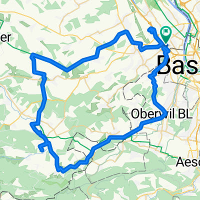
- De 38 Rue Charles Riescher, Hésingue à 41B Rue de Zimmersheim, Riedisheim
- Distance
- 37.9 km
- Ascent
- 773 m
- Descent
- 784 m
- Location
- Saint-Louis, Grand Est, France
- St-Louis-Ranspach(s)-Blotz-Stetten-Geispitzen-Kembs-St-Louis
- Distance
- 71.8 km
- Ascent
- 341 m
- Descent
- 340 m
- Location
- Saint-Louis, Grand Est, France
Open it in the app