Hirschbach Friedberg Hirschbach
- 12.1 km
- 260 m
- 260 m
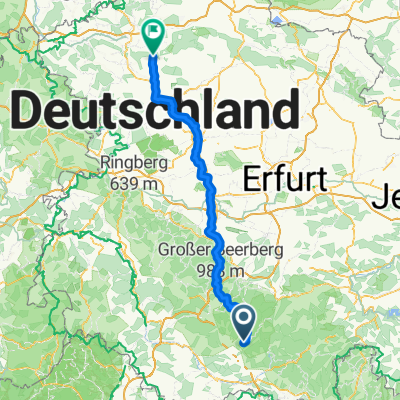
- Sankt Kilian, Thuringia, Germany
A cycling route starting in Sankt Kilian, Thuringia, Germany.
Overview
the total distance is 130 km and has a climbing elevation of 2.6020 meters - fortunately also downhill - at least most of the time, as some descents were not a recovery at all - the last stretch to Friedberg in Suhl was normal - just right for the end of a tough tour - I counted a total of 12 steep ramps, some of them on GRASS - where there is no forward movement, any Rennsteig runner would laugh at you - but that is what makes MTB riding exciting - not just pedaling along but also really experiencing every meter because you don't know if your energy will hold out to complete the entire climb - the last meters of the ascent from Engenau to Simmersberg were also one of those grass ramps after a section of root path - another tough part was the variant to Haube - I actually wanted to go up to Neustadt in a relaxed manner, but the woodworkers had closed off the path - the detour I took nearly did me in - it wasn’t an official path and it was also filled with deep wheel ruts - the last meters then went radically straight up - the operating temperature had reached its upper limit - so the hardness factor is 20 (2.600 : 130) - so I can consider today's tour a success!
created this 10 years ago
Route quality
Quiet road
8.7 km
33 %
Cycleway
6.1 km
23 %
Paved
15.9 km
(60 %)
Unpaved
4.2 km
(16 %)
Asphalt
14.3 km
54 %
Gravel
4.2 km
16 %
Continue with Bikemap
You would like to ride Dillstädt-Simmersberg-Werraquelle-Oelze-Kahlert-Frauenwald-St. Kilian-Suhl-Dillstädt (Teil 3) or customize it for your own trip? Here is what you can do with this Bikemap route:
Free trial for 3 days, or one-time payment. More about Bikemap Premium.
Discover more Premium features.
Get Bikemap PremiumFrom our community
Open it in the app